geocat.ch
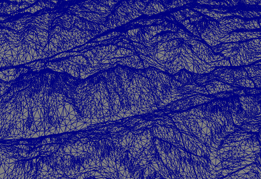
swisstopo Web Access Terrain 3D Service
swisstopo Web Access Terrain 3D Service provides a 3D representation of the topography of Switzerland as well as of the bordering countries without vegetation and built-up areas. It is composed by combining different data sets (swissALTI3D, swissTLM3D et swissALTIRegio).
Simple
- Alternate title
-
Relief in 3D
- Date (Creation)
- 2015-10-30
- Date (Revision)
- 2025-05-01
- Identifier
- ch.swisstopo.terrain.3d
Point of contact
Distributor
Extent
Extent
- Geographic identifier
- MNT

- Maintenance and update frequency
- Unknown
- GEMET
-
-
Infrastructure for spatial information in Europe
-
- GEMET
-
-
on-line service
-
- geocat.ch
-
-
3D simulation
-
FSDI Federal Spatial Data Infrastructure
-
official geodata
-
3D visualisation
-
official geoservice
-
opendata.swiss
-
Resource constraints
- Other constraints
- Opendata BY: Open use. Must provide the source.
Associated resource
- Association Type
- Reference to a master resource of which this one is a part
- Metadata Reference
Associated resource
- Association Type
- Reference to a master resource of which this one is a part
- Metadata Reference
Associated resource
- Association Type
- Reference to a master resource of which this one is a part
- Metadata Reference
Associated resource
- Title
-
Height data (national survey)
- Association Type
- Reference to a master resource of which this one is a part
- Service Version
-
1.0
- Coupling Type
- Tight
Contains Operations
Contains Operations
- Operation Name
-
Metadata Service
- Distributed computing platform (DCP)
- WebServices
- Distribution format
-
-
quantized-mesh
-
Digital transfer options
- OnLine resource
-
Aperçu map.geo.admin.ch
Preview map.geo.admin.ch
Digital transfer options
- OnLine resource
-
Description
Digital transfer options
- OnLine resource
- Reference system identifier
- http://www.opengis.net/def/crs/EPSG/0/4326
Metadata
- Metadata identifier
- d92cac20-8741-49f5-b7d0-86f8db506e55
- Language
- Français
- Character encoding
- UTF8
- Language
- Deutsch
- Character encoding
- UTF8
- Language
- Italiano
- Character encoding
- UTF8
- Language
- English
- Character encoding
- UTF8
Point of contact
Type of resource
- Resource scope
- Service
- Name
-
Service
- Metadata linkage
-
https://www.geocat.ch/geonetwork/srv/api/records/d92cac20-8741-49f5-b7d0-86f8db506e55
- Date info (Creation)
- 2021-07-05T14:13:48Z
- Date info (Revision)
- 2026-04-13T09:17:45.504639Z
Metadata standard
- Title
-
GM03_2
- Edition
-
1.0