geocat.ch
swissTLMRegio Names
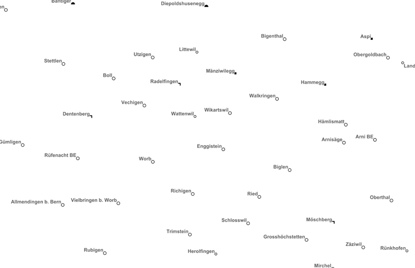
The topic Names is comprised of the two Feature Classes NamedLocation and TLMRegio_NamedLocation_PLY which contains names of municipalities, places, peaks and numerous other important elements in the 1:200'000 scale
Simple
- Alternate title
-
Names swissTLMRegio
- Date (Publication)
- 2012-02-24
- Date (Revision)
- 2025-12-02
- Identifier
- ch.swisstopo.vec200-names-namedlocation
- Other citation details
-
Ehemaliger Geobasisdatensatz ID=38.15 (ausser Kraft gesetzt)
- Status
- Completed
Point of contact
- Spatial representation type
- Vector
Spatial resolution
Equivalent scale
- Denominator
- 200000
- Topic category
-
- B Location
Extent
Extent
- Description
-
swissTLMRegio
Identifier
- Code
))

- Maintenance and update frequency
- Annually
- Hierarchy level
- Dataset
- GEMET
-
-
lake
-
geographic information system
-
municipality
-
nomenclature
-
mountain
-
- geocat.ch
-
-
landscape model
-
GIS (Geographic Information System)
-
opendata.swiss
-
- GEMET - INSPIRE themes, version 1.0
-
-
Geographical names
-
- geocat.ch
-
-
FSDI Federal Spatial Data Infrastructure
-
Associated resource
- Association Type
- Reference to a master resource of which this one is a part
- Metadata Reference
Associated resource
- Title
-
Topografisches Landschaftsmodell (Landesvermessung)
- Association Type
- Reference to a master resource of which this one is a part
- Language
- English
- Character encoding
- UTF8
- Language
- Deutsch
- Character encoding
- UTF8
- Supplemental Information
-
The topics Transportation, Hydrography, Landcover, Buildings, Miscellaneous, Names and Administrative boundaries build together the dataset swissTLMRegio.
- Basic Geodata
- true
- Basic Geodata ID
-
38.17
- Basic Geodata Legal Level
- Federal
- Distribution format
-
-
ESRI Personal Geodatabase (Personal-GDB)
-
AutoCAD DXF (DXF)
-
ESRI Shapefile (SHP)
-
INTERLIS 2 (XTF)
-
OGC Geopackage (GPKG)
-
Digital transfer options
- OnLine resource
-
Vorschau map.geo.admin.ch
Preview map.geo.admin.ch
Digital transfer options
- OnLine resource
-
ch.swisstopo.vec200-names-namedlocation
WMS-FSDI service, layer "Names swissTLMRegio"
Digital transfer options
- OnLine resource
-
ch.swisstopo.vec200-names-namedlocation
WMTS-FSDI service, layer "Names swissTLMRegio"
Digital transfer options
Digital transfer options
- OnLine resource
-
DE#|FR#|IT#|EN#|RM#
DE#|FR#|IT#|EN#|RM#
Digital transfer options
Digital transfer options
Digital transfer options
- OnLine resource
-
RESTful API von geo.admin.ch
RESTful API from geo.admin.ch
- Statement
-
Based on a 1:200 000 scale. Geometric precision: 20-60 m.
- Hierarchy level
- Dataset
- Topology level
- Full planar graph
- Geometric object type
- Point
- Geometric object count
- 19086
- Reference system identifier
- EPSG:21781
- Reference system identifier
- EPSG:2056
- Maintenance and update frequency
- Annually
- Date
- 2026-10-15
- Date type
- nextUpdate
Metadata
- Metadata identifier
- 4af350f6-2df1-4b5b-947f-6d65aea528f8
- Language
- Deutsch
- Character encoding
- UTF8
- Language
- Français
- Character encoding
- UTF8
- Language
- Italiano
- Character encoding
- UTF8
- Language
- English
- Character encoding
- UTF8
- Language
- Rumantsch
- Character encoding
- UTF8
Point of contact
Type of resource
- Resource scope
- Tile
- Name
-
Topic
- Metadata linkage
-
https://www.geocat.ch/geonetwork/srv/api/records/4af350f6-2df1-4b5b-947f-6d65aea528f8
- Date info (Creation)
- 2012-04-12T09:57:47Z
- Date info (Revision)
- 2026-04-13T09:38:58.32455Z
Metadata standard
- Title
-
eCH-0271