geocat.ch
Amtliche Vermessung Basel-Stadt (Interlis)
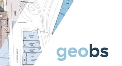
Der Datensatz Amtliche Vermessung Basel-Stadt bildet alle Datenebenen des kantonalen basel-städtischen Datenmodells der amtlichen Vermessung ab. Das Produkt umfasst die Interlis-Transferdatei sowie alle zugehörigen Interlis-Modelldateien.
Simple
- Date (Publication)
- 2026-08-18
Distributor
- Topic category
-
- A Imagery base maps earth cover
Extent
Extent
- Description
-
Kanton Basel-Stadt
))

- Maintenance and update frequency
- Daily
- Keywords
-
-
opendata.swiss
-
Resource constraints
- Use constraints
- Other restrictions
- Other constraints
-
Opendata BY: Freie Nutzung. Quellenangabe ist Pflicht. Es gelten die Nutzungsbedingungen für Geodaten des Kantons Basel-Stadt. ( http://www.geo.bs.ch/agb)
- Language
- Deutsch
- Character encoding
- UTF8
- Basic Geodata
- true
- Basic Geodata ID
-
8-BS
- Basic Geodata Access Level
- A
Distributor
Digital transfer options
- OnLine resource
-
Geoportal Kanton Basel-Stadt
Geoportal Kanton Basel-Stadt
- OnLine resource
-
itf
Datensatz im itf Format
- Reference system identifier
- LV95 EPSG:2056
Metadata
- Metadata identifier
- ff2d249f-8de2-4fb8-9dae-7995e3598cd7
- Language
- Deutsch
- Character encoding
- UTF8
Distributor
Type of resource
- Resource scope
- Dataset
- Metadata linkage
-
https://www.geocat.ch/geonetwork/srv/api/records/ff2d249f-8de2-4fb8-9dae-7995e3598cd7
- Date info (Creation)
- 2026-08-20T14:06:43.10645Z
- Date info (Revision)
- 2026-08-20T14:06:46.009547Z
Metadata standard
- Title
-
eCH-0271