geocat.ch
Amtliche Vermessung Fürstentum Liechtenstein
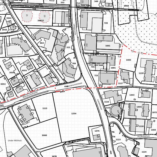
Digitaler Datenbestand der Amtlichen Vermessung des Fürstentum Liechtenstein. Das Datenmodel ist in INTERLIS 1 beschrieben. Das verwendete Datenmodell ist DM01AVFL41. Die Grundlage ist das Bundesmodell DM01, Version 24, sowie die ostschweizerischen Ergänzungen.
Simple
- Date (Creation)
- 2010-12-02
- Identifier
- https://metadata.geo.llv.li/f8ec7564-4d7f-4636-8368-efb9b7377017
- Purpose
-
Sicherheit des Grundeigentums
Grundlagedaten der GDI
- Status
- Under development
- Status
- On going
Point of contact
- Hours of service
-
8:00-11:30 und 13:30-17:00
- Spatial representation type
- Vector
Spatial resolution
Equivalent scale
- Denominator
- 500
Spatial resolution
Equivalent scale
- Denominator
- 1000
Spatial resolution
Equivalent scale
- Denominator
- 2000
Spatial resolution
Equivalent scale
- Denominator
- 5000
Spatial resolution
Equivalent scale
- Denominator
- 10000
- Topic category
-
- E Planning cadastre
- A Imagery base maps earth cover
- B Location
- O Structure
Extent
Extent
- Description
-
Liechtenstein
))

- Maintenance and update frequency
- Continual
Resource format
- Title
-
INTERLIS 1 (ITF)
- Date
- GEMET
-
-
vector
-
nomenclature
-
pipeline
-
plan
-
administrative boundary
-
municipality
-
altitude
-
- geocat.ch
-
-
post code
-
national border
-
building address
-
immoveable property
-
INSPIRE
-
cadastral surveying
-
single object
-
plan division
-
sovereign border
-
administrative division
-
tolerance level
-
numbering range
-
fixpoint
-
place
-
- GEMET - INSPIRE themes, version 1.0
-
-
Land cover
-
Hydrography
-
Buildings
-
Cadastral parcels
-
- Räumlicher Anwendungsbereich
-
-
National
-
Resource specific usage
- Specific usage
-
Die Amtliche Vermessung umfasst die Erhebung, Verwaltung und Nachführung der rechtsverbindlichen Eigentumsgrenzen sowie die weiteren Informationen über die Parzellen und stellt diese im Plan für das Grundbuch dar. Der plan ist ein amliches Dokument und die darin festgehaltenen Grundstücksgrenzen, Dienstbarkeiten und öffentlich-rechtlichen Eigentumsbeschränkungen haben Rechtswirkung. Die Daten der Amtlichen Vermessung bilden die Basis für den Aufbau und Betrieb von raumbezogenen Informationssystemen.
Point of contact
- Hours of service
-
8:00-11:30 und 13:30-17:00
Resource constraints
- Access constraints
- Other restrictions
- Other constraints
- no limitations to public access
- Country
- LI
- Legislation Type
- Ordinance
- Legislation Level
- national
- Title
-
Verordnung über die Gebühren für die Nutzung der Geodateninfrastruktur Liechtenstein
- Alternate title
-
GDI-Gebührenverordnung (GDI-GebV)
- Date (Creation)
- 2011-08-30
Resource constraints
- Use limitation
-
Zugangs- und Nutzungsbedingungen
- Access constraints
- Other restrictions
- Use constraints
- Other restrictions
- Other constraints
- gebührenpflicht
- Language
- Deutsch
- Character encoding
- UTF8
- Supplemental Information
-
Geobasisdaten: Informationsebenen des Bundesmodells: Fixpunkte, Bodenbedeckung, Einzelobjekte Hohen, Nomenklatur, Liegenschaften, Rohrleitungen, Administrative Einteilung( Nummerierungsbereiche, Hoheitsgrenzen, Planeinteilung, Toleranzstufen etc.) Gebäudeadressen und PLZOrtschaft. Ostschweizerische Ergänzungen: Dienstbarkeiten
- Subtopic Category
- E1 Spatial Planning, Spatial Development
- Subtopic Category
- E2 Cadastre, Land Registry
- Subtopic Category
- A1 Base Maps, Landscape Models
- Subtopic Category
- A2 Land Cover, Land Use
- Language
- Deutsch
- Included with dataset
- 1
- Title
-
Datenmodell 2001 der Amtlichen Vermessung DM01-AV-FL
- Date (Creation)
- 2008-11-07
- Distribution format
-
-
AutoCAD DXF (DXF)
-
INTERLIS 1 (ITF)
-
ESRI Shapefile (SHP)
-
Point of contact
- Hours of service
-
8:00-11:30 und 13:30-17:00
Digital transfer options
- Hierarchy level
- Dataset
- Other
-
alle Ebenen
Report
Result
- Title
-
COMMISSION REGULATION (EU) No 1089/2010 of 23 November 2010 implementing Directive 2007/2/EC of the European Parliament and of the Council as regards interoperability of spatial data sets and services
- Date (Publication)
- 2010-12-08
- Explanation
-
nicht geprüft
- Pass
- false
- Statement
-
Erfassung der Amtlichen Vermessung mit geodätischen Geräten (Theodolit, GPS etc.)
- Hierarchy level
- Dataset
- Other
-
alle Ebenen
- Topology level
- Full surface graph
- Geometric object type
- Surface
- Geometric object count
- 50000
- Maintenance and update frequency
- Continual
Metadata
- Metadata identifier
- f8ec7564-4d7f-4636-8368-efb9b7377017
- Language
- Deutsch
- Character encoding
- UTF8
- Language
- Français
- Character encoding
- UTF8
- Language
- Italiano
- Character encoding
- UTF8
- Language
- English
- Character encoding
- UTF8
Point of contact
- Hours of service
-
8:00-11:30 und 13:30-17:00
Type of resource
- Resource scope
- Dataset
- Metadata linkage
-
https://www.geocat.ch/geonetwork/srv/api/records/f8ec7564-4d7f-4636-8368-efb9b7377017
- Date info (Creation)
- 2011-01-18T11:06:32Z
- Date info (Revision)
- 2026-05-05T12:38:10.505901Z
Metadata standard
- Title
-
eCH-0271