geocat.ch
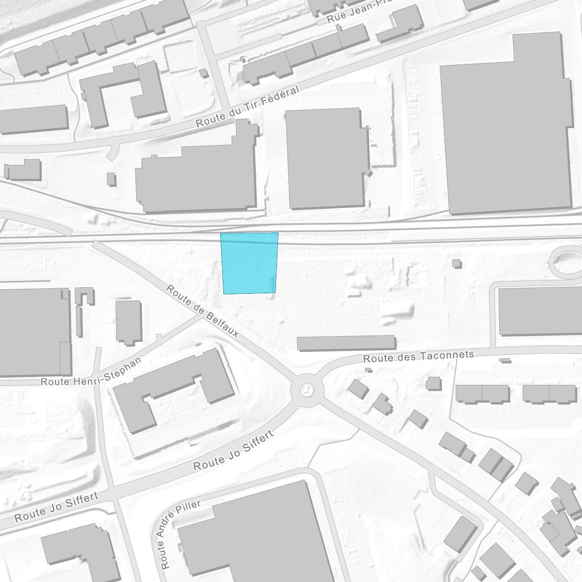
Sites susceptibles d'être pollués par des PFAS
Zones où la pollution du sous-sol par des substances Per- et Polyfluoroalkylées (PFAS) est établie ou très probable. Ces zones correspondent à des aires d'exploitation (entreprises), des sites d’exercices de pompiers ou des lieux d'incendie majeur.
Simple
- Date (Publication)
- 2026-02-02
- Status
- On going
Point of contact
- Spatial representation type
- Vector
- Topic category
-
- L Environment
- F Geoscientific information
- Q Utilities communication
Extent
Extent
- Description
-
Canton of Fribourg (FR)
))

- Maintenance and update frequency
- Continual
Resource format
- Title
-
ESRI Enterprise Geodatabase
- Date
- GEMET
-
-
land pollution
-
non-biodegradable pollutant
-
chemical contamination
-
environment
-
soil pollutant
-
water pollutant
-
chemical pollutant
-
Resource constraints
- Use constraints
- Other restrictions
- Other constraints
-
Propriété de l'Etat de Fribourg
- Language
- Français
- Character encoding
- UTF8
- Environment description
-
Nom de la donnée sur le serveur interne : OPR2020S_PREAVIS_PFAS
- Subtopic Category
- L2 Nature and Landscape Protection
- Subtopic Category
- F1 Geology
- Subtopic Category
- F2 Soils
- Subtopic Category
- Q2 Water and Waste Systems
- Included with dataset
- 0
- Title
-
Sites susceptibles d'être pollués par des PFAS
- Date (Publication)
- 2025-12-22
- Name
-
Sites susceptibles d'être pollués par des PFAS
- Date
- 2025-12-22
Property description
- Property name
- OPR2020S_PREAVIS_PFAS
- Definition
-
Classe d'entité polygonale sans attributs
- Distribution format
-
-
ESRI Enterprise Geodatabase
-
Digital transfer options
- OnLine resource
- Statement
-
La donnée a été produite par la section Déchets et sites pollués du Service de l'environnement (Etat de Fribourg)
- Hierarchy level
- Dataset
- Reference system identifier
- CH1903+/MN95, Système de coordonnées nationales (EPSG:2056)
- Maintenance and update frequency
- As needed
Metadata
- Metadata identifier
- e9fabae0-29af-454a-8a9b-af9ee193f529
- Language
- Français
- Character encoding
- UTF8
- Language
- Deutsch
- Character encoding
- UTF8
- Language
- Italiano
- Character encoding
- UTF8
- Language
- English
- Character encoding
- UTF8
Point of contact
Type of resource
- Resource scope
- Dataset
- Metadata linkage
-
https://www.geocat.ch/geonetwork/srv/api/records/e9fabae0-29af-454a-8a9b-af9ee193f529
- Date info (Creation)
- 2025-12-22T13:40:52.179Z
- Date info (Revision)
- 2026-04-13T09:17:59.622069Z
Metadata standard
- Title
-
eCH-0271