 geocat.ch
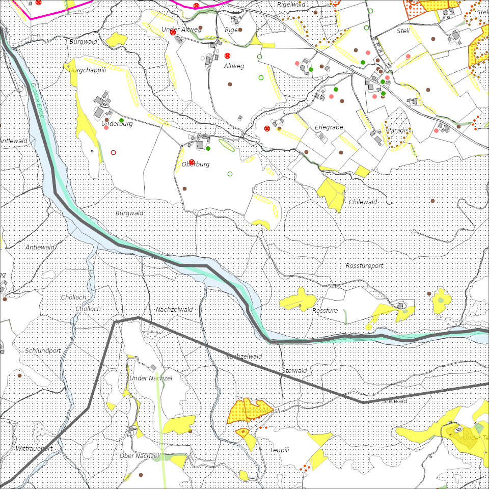
Ökologische Vernetzungsprojekte
Landwirtschaftliche Vernetzungsprojekte zur Erhaltung und Förderung der natürlichen Artenvielfalt auf der landwirtschaftlichen Nutzfläche.
Simple
- Alternate title
-
VNPROJXX_COL
- Date (Creation)
- 2026-01-18
- Presentation form
- Digital map
- Purpose
-
Das Ziel von Vernetzungsprojekten ist es, die natürliche Artenvielfalt auf der landwirtschaftlichen Nutzfläche zu erhalten und zu fördern. Dafür werden Biodiversitätsförderflächen (BFF) so platziert und bewirtschaftet, dass günstige Bedingungen für die Entwicklung und Verbreitung von Tieren und Pflanzen entstehen. Beiträge für die Vernetzung werden ausgerichtet, wenn die Flächen nach den Vorgaben eines vom Kanton genehmigten regionalen Vernetzungsprojektes angelegt und bewirtschaftet werden. Ein Vernetzungsprojekt dauert jeweils acht Jahre. Die Beiträge werden zu 90 % vom Bund und zu 10 % von der Standortgemeinde übernommen.Im Kanton Luzern gibt es rund 55 lokale Vernetzungsprojekte, welche die landwirtschatliche Nutzfläche zu 96 % abdecken.Ca. drei Viertel aller Landwirtschaftsbetriebe im Kanton Luzern machen in einem Vernetzungprojekt mit und setzen somit Massnahmen zu Gunsten der Ziel- und Leitarten um.
- Status
- On going
Publisher
Owner
- Spatial representation type
- undefined
- Topic category
-
- L Environment
Extent
Extent
- Description
-
Kanton Luzern
))
- Maintenance and update frequency
- As needed
- geocat.ch
-
-
opendata.swiss
-
Artenschutz
-
Biodiversität
-
Lebensraum
-
Naturschutz
-
Resource constraints
- Access constraints
- none
- Use constraints
- Copyright
Resource constraints
- Use limitation
-
öffentlich zugängliche Geobasisdaten
Resource constraints
- Access constraints
- none
- Use constraints
- none
Resource constraints
- Use limitation
-
Freie Nutzung. Quellenangabe ist Pflicht
Associated resource
- Association Type
- Reference to a master resource of which this one is a part
- Metadata Reference
Associated resource
- Association Type
- Reference to a master resource of which this one is a part
- Metadata Reference
Associated resource
- Association Type
- Reference to a master resource of which this one is a part
- Metadata Reference
Associated resource
- Association Type
- Reference to a master resource of which this one is a part
- Metadata Reference
Associated resource
- Association Type
- Reference to a master resource of which this one is a part
- Metadata Reference
Associated resource
- Association Type
- Reference to a master resource of which this one is a part
- Metadata Reference
Associated resource
- Association Type
- Reference to a master resource of which this one is a part
- Metadata Reference
Associated resource
- Association Type
- Reference to a master resource of which this one is a part
- Metadata Reference
Associated resource
- Association Type
- Reference to a master resource of which this one is a part
- Metadata Reference
Associated resource
- Association Type
- Reference to a master resource of which this one is a part
- Metadata Reference
Associated resource
- Association Type
- Reference to a master resource of which this one is a part
- Metadata Reference
Associated resource
- Association Type
- Reference to a master resource of which this one is a part
- Metadata Reference
Associated resource
- Association Type
- Reference to a master resource of which this one is a part
- Metadata Reference
- Distribution format
-
-
ESRI Geodatabase (.gdb)
-
ESRI Shapefile (.shp)
-
OGC GeoPackage (.gpkg)
-
Point of contact
Digital transfer options
- OnLine resource
-
Datenshop
Produktansicht Geodatenshop
- Statement
-
unbekannt
- Reference system identifier
- EPSG:2056
- Maintenance and update frequency
- As needed
Metadata
- Metadata identifier
- e87d9dfb-2bb2-4ee2-8891-9ce25ee15fd6
- Language
- Deutsch
- Character encoding
- UTF-8
Point of contact
Type of resource
- Resource scope
- Dataset
- Metadata linkage
-
https://www.geocat.ch/geonetwork/srv/api/records/e87d9dfb-2bb2-4ee2-8891-9ce25ee15fd6
- Date info (Creation)
- 2019-06-07
- Date info (Revision)
- 2026-06-19T03:23:14.732968Z
Metadata standard
- Title
-
ISO19115.3-2018.che
)))