geocat.ch
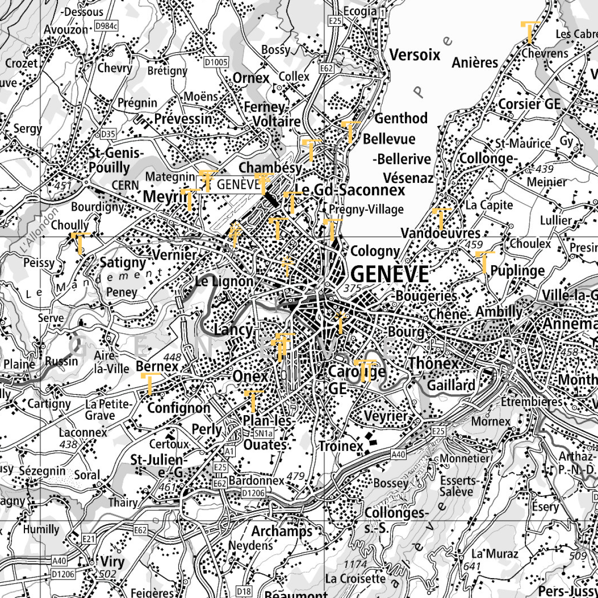
Swiss air navigation obstacles - changes of the last 56 days
Representation of the new air navigation obstacles, which have been activated during the last 56 days. This timeframe covers maximum two cycles of 28 days, which represents the standard for regular updates of aeronautical information publications (AIRAC). The newly activated air navigation obstacles are updated daily.
Simple
- Alternate title
-
Latest changes of obstacles
- Date (Creation)
- 2022-04-28
- Identifier
- ch.bazl.luftfahrthindernis-aenderungen
- Status
- On going
Point of contact
- Spatial representation type
- Vector
Spatial resolution
Equivalent scale
- Denominator
- 5000
Spatial resolution
Equivalent scale
- Denominator
- 1000000
- Topic category
-
- P Transportation
Extent
Extent
- Description
-
Switzerland
))

- Maintenance and update frequency
- Unknown
- GEMET - INSPIRE themes, version 1.0
-
-
Elevation
-
- GEMET - INSPIRE themes, version 1.0
-
-
Transport networks
-
- geocat.ch
-
-
air navigation
-
FSDI Federal Spatial Data Infrastructure
-
air navigation obstacle
-
Resource constraints
- Use constraints
- Other restrictions
- Other constraints
- Opendata BY: Open use. Must provide the source.
- Other constraints
- Language
- English
- Character encoding
- UTF8
- Distribution format
-
-
Google KMZ (KMZ)
-
Aeronautical Information Exchange Model (AIXM)
-
Digital transfer options
- OnLine resource
-
Vorschau map.geo.admin.ch
Preview map.geo.admin.ch
Digital transfer options
Digital transfer options
Digital transfer options
Digital transfer options
- OnLine resource
-
ch.bazl.luftfahrthindernis-aenderungen
Link to WMS
Digital transfer options
- OnLine resource
-
RESTful API von geo.admin.ch
RESTful API from geo.admin.ch
Digital transfer options
- OnLine resource
-
Offizielle AIRAC-Daten
Internationally harmonised AIRAC dates
Digital transfer options
- Statement
-
Daten basieren auf Angaben, die im Rahmen des Meldeverfahrens von den Eigentümern der jeweiligen Luftfahrthindernisse bzw. von den Meldepflichtigen geliefert werden.
- Hierarchy level
- Dataset
- Geometric object type
- Composite
- Reference system identifier
- EPSG: 4326
Metadata
- Metadata identifier
- e7de6005-86e8-49b9-baf5-be40e34fddd4
- Language
- Deutsch
- Character encoding
- UTF8
- Language
- Français
- Character encoding
- UTF8
- Language
- English
- Character encoding
- UTF8
- Language
- Italiano
- Character encoding
- UTF8
- Language
- Rumantsch
- Character encoding
- UTF8
Point of contact
Type of resource
- Resource scope
- Dataset
- Metadata linkage
-
https://www.geocat.ch/geonetwork/srv/api/records/e7de6005-86e8-49b9-baf5-be40e34fddd4
- Date info (Creation)
- 2022-08-18T16:20:19Z
- Date info (Revision)
- 2026-06-04T06:57:31.678929Z
Metadata standard
- Title
-
eCH-0271