geocat.ch
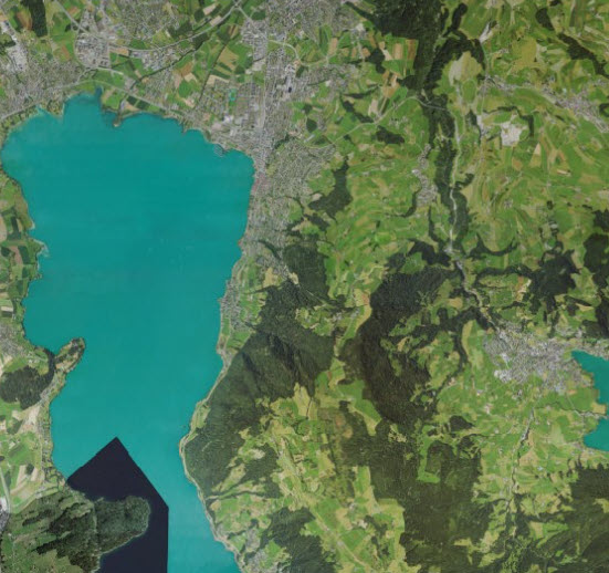
Digitales Orthophoto 2011 (ZG)
Digitales Orthofoto des gesamten Kantonsgebiets (10 cm Auflösung; Aufnahmedaten April 2011)
Simple
- Date (Publication)
- 2011-04-01
Owner
- Spatial representation type
- Grid
Spatial resolution
- Spatial resolution
- 0.1 m
- Topic category
-
- A Imagery base maps earth cover
Extent
Extent
- Description
-
Canton of Zug (ZG)
N
S
E
W
))

- Maintenance and update frequency
- Unknown
Resource format
- Title
-
GeoTIFF (GEOTIFF)
- Date
- geocat.ch
-
-
orthophoto
-
- Language
- Deutsch
- Character encoding
- UTF8
- Subtopic Category
- A1 Base Maps, Landscape Models
- Subtopic Category
- A3 Aerial and Satellite Imagery
- Distribution format
-
-
nan
-
Digital transfer options
- OnLine resource
-
Luftbild Kanton Zug aktuell (ZugMap)
ZugMap, der öffentliche Geodaten-Viewer des GIS Kanton Zug
Identifier
- Code
- EPSG:2056
- Description
-
CH1903+ / LV95 (EPSG:2056)
Metadata
- Metadata identifier
- e7da8291-47cd-4b6a-999d-46ef6ef2bd47
- Language
- Deutsch
- Character encoding
- UTF8
- Language
- Français
- Character encoding
- UTF8
- Language
- Italiano
- Character encoding
- UTF8
- Language
- English
- Character encoding
- UTF8
Distributor
Type of resource
- Resource scope
- Dataset
- Metadata linkage
-
https://www.geocat.ch/geonetwork/srv/api/records/e7da8291-47cd-4b6a-999d-46ef6ef2bd47
- Date info (Creation)
- 2012-01-19T12:51:59Z
- Date info (Revision)
- 2026-06-19T09:41:25.492447Z
Metadata standard
- Title
-
eCH-0271