geocat.ch
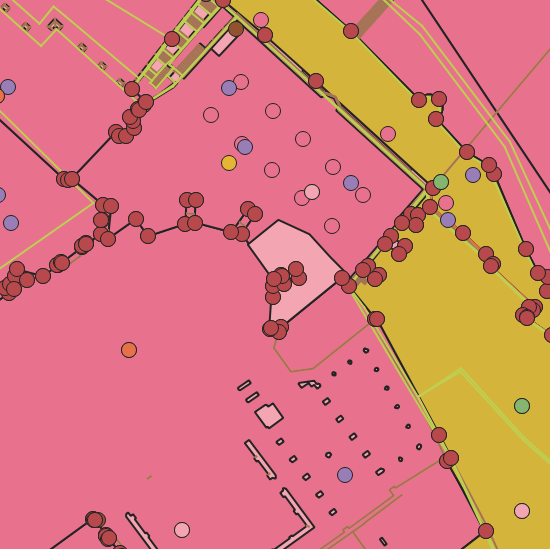
Amtliche Vermessung MOpublic mit kantonaler Erweiterung
Dieser Datensatz erlaubt es, die Daten von MOpublic um die kantonalen Mehranforderungen vom Kanton Basel-Stadt zu ergänzen. Er enthält die um die basel-städtische Arten ergänzten Datenebenen Liegenschaften, Bodenbedeckung und Einzelobjekte sowie die zusätzliche basel-städtische Datenebene Servitute.
Simple
- Date (Creation)
- 2000-01-01
- Status
- Completed
Owner
- Spatial representation type
- Vector
- Topic category
-
- A Imagery base maps earth cover
Extent
Extent
- Description
-
Canton of Basel-Stadt (BS)
))

- Maintenance and update frequency
- Daily
- geocat.ch
-
-
cadastral surveying
-
Resource constraints
- Other constraints
-
Die Geodaten sind öffentlich zugänglich. (Zugangsberechtigungsstufe [A] = öffentlich)
- Other constraints
-
Es gelten die Nutzungsbedingungen für Geodaten des Kantons Basel-Stadt. ( http://www.geo.bs.ch/agb)
Associated resource
- Association Type
- Resource is a description of associated resource
- Metadata Reference
Associated resource
- Association Type
- Resource is a description of associated resource
- Metadata Reference
Associated resource
- Title
-
Amtliche Vermessung MOpublic
- Association Type
- Reference to a master resource of which this one is a part
- Language
- Deutsch
- Character encoding
- UTF8
- Subtopic Category
- A1 Base Maps, Landscape Models
- Distribution format
-
-
AutoCAD DXF (DXF)
-
AutoCAD DWG (DWG)
-
ESRI Shapefile (SHP)
-
Distributor
- Hours of service
-
Mo - Do: 8:00 bis 12:00, 13:30 bis 16:30, Fr: 8:00 bis 12:00, 13:30 bis 16:00
Digital transfer options
- OnLine resource
-
Geodaten-Shop
Öffentlich zugänglicher Geodaten-Downloaddienst des Kantons Basel-Stadt
- Reference system identifier
- CH1903+ / LV95/EPSG: 2056
Metadata
- Metadata identifier
- e2fbe785-fadf-4682-96f3-2763ff1b33c4
- Language
- Deutsch
- Character encoding
- UTF8
- Language
- Français
- Character encoding
- UTF8
- Language
- Italiano
- Character encoding
- UTF8
- Language
- English
- Character encoding
- UTF8
Custodian
Type of resource
- Resource scope
- Dataset
- Metadata linkage
-
https://www.geocat.ch/geonetwork/srv/api/records/e2fbe785-fadf-4682-96f3-2763ff1b33c4
- Date info (Creation)
- 2015-06-30T10:53:29Z
- Date info (Revision)
- 2026-04-13T09:43:09.527897Z
Metadata standard
- Title
-
eCH-0271