 geocat.ch
GIS-Koordinator/innen der Gemeinden
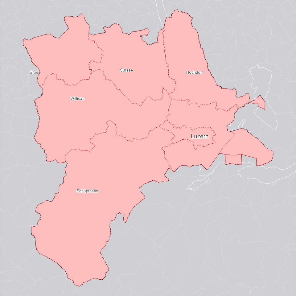
Gebietseinteilung und Kontaktangaben der GIS-Koordinator/innen der Gemeinden des Kantons Luzern.
Simple
- Alternate title
-
GISKOGEM_DS
- Date (Creation)
- 2026-05-07
- Presentation form
- Digital map
- Purpose
-
Der Datensatz zeigt die Zuständigkeitsgebiete und Kontaktangaben der zuständigen GIS-Koordinator/innen. Der/die GIS-Koordinator/in ist die verantwortliche Fach- und Ansprechperson für die Geodaten der Gemeinden des Kantons Luzern - technisch, organisatorisch und qualitativ.
- Status
- Completed
Publisher
Owner
- Spatial representation type
- Vector
- Topic category
-
- D Boundaries
Extent
Extent
- Description
-
Kanton Luzern
))
- Maintenance and update frequency
- Not planned
- geocat.ch
-
-
opendata.swiss
-
Administrative Einteilung
-
Resource constraints
- Access constraints
- none
- Use constraints
- Copyright
Resource constraints
- Use limitation
-
öffentlich zugängliche Geobasisdaten
Resource constraints
- Access constraints
- none
- Use constraints
- none
Resource constraints
- Use limitation
-
Freie Nutzung. Quellenangabe ist Pflicht
- Language
- Deutsch
- Character encoding
- UTF-8
- Included with dataset
- false
- Title
-
GISKOGEM_V1_PY
- Date (Publication)
- 2026-05-07
- Name
-
GISKOGEM_V1_PY
- Scope
-
GIS-Koordinatoren
- Version
-
V1
- Date
- 2026-05-19
Property description
- Property name
- GIS-Koordinatoren
- Abstract
- false
Elements
- Member name
- GIS_KOOR
- Definition
-
GIS-Koordinator/in
- Cardinalities
-
1
- Type name
-
Text
Elements
- Member name
- OBJECTID
- Definition
-
OBJECTID
- Cardinalities
-
1
- Type name
-
GUID
Elements
- Member name
- Definition
-
Email
- Cardinalities
-
1
- Type name
-
Text
Elements
- Member name
- Shape
- Definition
-
Shape
- Cardinalities
-
1
- Type name
-
SHAPE
Elements
- Member name
- Shape_Area
- Definition
-
Shape_Area
- Cardinalities
-
1
- Type name
-
Double
Elements
- Member name
- Shape_Length
- Definition
-
Shape_Length
- Cardinalities
-
1
- Type name
-
Double
Elements
- Member name
- UNTERN
- Definition
-
Unternehmen
- Cardinalities
-
1
- Type name
-
Text
- Distribution format
-
-
ESRI Geodatabase (.gdb)
-
ESRI Shapefile (.shp)
-
OGC GeoPackage (.gpkg)
-
Point of contact
Digital transfer options
- OnLine resource
-
Datenshop
Produktansicht Geodatenshop
- Statement
-
unbekannt
- Geometric object type
- polygon
- Reference system identifier
- EPSG:2056
- Maintenance and update frequency
- Not planned
Metadata
- Metadata identifier
- cb09d3e5-ebdb-40a0-9ede-3f6fed607c6a
- Language
- Deutsch
- Character encoding
- UTF-8
Point of contact
Type of resource
- Resource scope
- Dataset
- Metadata linkage
-
https://www.geocat.ch/geonetwork/srv/api/records/cb09d3e5-ebdb-40a0-9ede-3f6fed607c6a
- Date info (Creation)
- 2026-05-07
- Date info (Revision)
- 2026-06-19T03:25:20.620245Z
Metadata standard
- Title
-
ISO19115.3-2018.che
)))