 geocat.ch
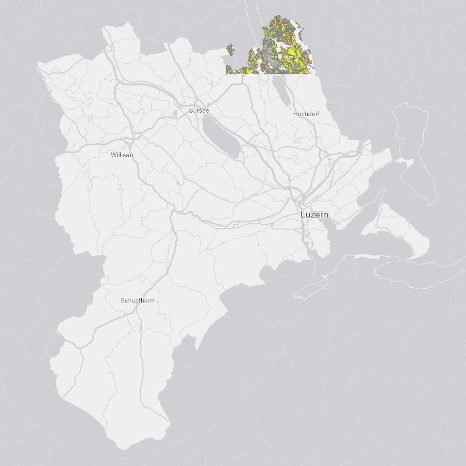
Risikokarte Region Hitzkirch (LK Blatt 1110)
Darstellung des Auswaschungs- und Abschwemmungsrisikos für Nährstoffe.
Simple
- Alternate title
-
BODRKAXX_COL
- Date (Creation)
- 2019-05-24
- Presentation form
- Digital map
- Purpose
-
Zeigt Auswaschungsrisikos für Nährstoffe insbesondere von Nitrat in der Region Hitzkirch. Direkte Abhängigkeit von der Bodenkarte.Zeigt Abschwemmungsrisikos für Nährstoffe insbesondere von Phosphor in der Region Hitzkirch. Direkte Abhängigkeit von Bodenkarte, DGM 10'000, Klimakarte.
- Status
- Completed
Publisher
Owner
- Spatial representation type
- undefined
- Topic category
-
- F Geoscientific information
Extent
Extent
- Description
-
Kanton Luzern
))
- Maintenance and update frequency
- Not planned
- geocat.ch
-
-
opendata.swiss
-
Boden
-
Gewässerschutz
-
Hydrogeologie
-
Landwirtschaftliche Nutzung
-
Resource constraints
- Access constraints
- none
- Use constraints
- Copyright
Resource constraints
- Use limitation
-
öffentlich zugängliche Geobasisdaten
Resource constraints
- Access constraints
- none
- Use constraints
- none
Resource constraints
- Use limitation
-
Freie Nutzung. Quellenangabe ist Pflicht
Associated resource
- Association Type
- Reference to a master resource of which this one is a part
- Metadata Reference
Associated resource
- Association Type
- Reference to a master resource of which this one is a part
- Metadata Reference
- Distribution format
-
-
ESRI Geodatabase (.gdb)
-
ESRI Shapefile (.shp)
-
OGC GeoPackage (.gpkg)
-
Point of contact
Digital transfer options
- OnLine resource
-
Datenshop
Produktansicht Geodatenshop
- Statement
-
unbekannt
- Reference system identifier
- EPSG:2056
- Maintenance and update frequency
- Not planned
Metadata
- Metadata identifier
- c2dd6996-006d-4737-9c2b-dd7a6db70c5c
- Language
- Deutsch
- Character encoding
- UTF-8
Point of contact
Type of resource
- Resource scope
- Dataset
- Metadata linkage
-
https://www.geocat.ch/geonetwork/srv/api/records/c2dd6996-006d-4737-9c2b-dd7a6db70c5c
- Date info (Creation)
- 2019-05-24
- Date info (Revision)
- 2026-06-19T03:17:50.47074Z
Metadata standard
- Title
-
ISO19115.3-2018.che
)))