geocat.ch
Teilrichtplan Fuss- und Wanderwege
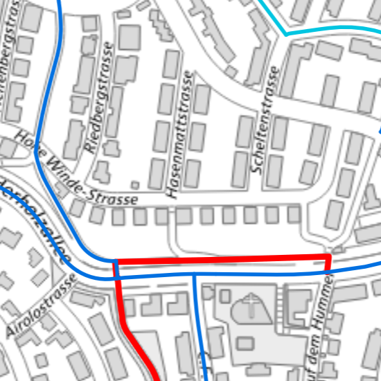
Das kantonale Fuss- und Wanderwegnetz ist in vier unterschiedliche Netze aufgeteilt – ein Fusswegnetz des Kantons Basel-Stadt, ein Fusswegnetz der Stadt Basel, ein Wanderwegnetz des Kantons Basel-Stadt und einen informativen Planinhalt, welches das Fusswegnetz der Gemeinden Riehen und Bettingen darstellen. Die Netze sind in bestehende und geplante Fuss- und Wanderwege ihrer jeweiligen Ebenengruppen unterteilt.
Simple
- Date (Creation)
- 2020-05-05
- Purpose
-
Der Regierungrat Basel-Stadt beschloss den Teilrichtplan Fuss- und Wanderwege am 02.07.2019. Weitere Infos: https://www.mobilitaet.bs.ch/fussgaenger/fuss-und-wanderwege/teilrichtplan-fuss-und-wanderwege.html
- Status
- Completed
Owner
- Spatial representation type
- Vector
- Topic category
-
- P Transportation
Extent
Extent
- Description
-
Basel-Stadt und Umgebung
- Geographic identifier
- Basel-Stadt (und Umgebung)
))

- Maintenance and update frequency
- As needed
- geocat.ch
-
-
path netwok
-
- geocat.ch
-
-
pedestrian
-
- geocat.ch
-
-
mobility
-
- geocat.ch
-
-
opendata.swiss
-
- GEMET
-
-
hiking trail
-
- GEMET
-
-
hiking trail
-
Resource constraints
- Other constraints
-
Die Geodaten sind öffentlich zugänglich. (Zugangsberechtigungsstufe [A] = öffentlich)
- Other constraints
-
Es gelten die Nutzungsbedingungen für Geodaten des Kantons Basel-Stadt. ( http://www.geo.bs.ch/agb)
- Language
- Deutsch
- Character encoding
- UTF8
- Basic Geodata
- true
- Basic Geodata ID
-
79>A
- Basic Geodata Legal Level
- Federal
- Basic Geodata Type
- openData
- Distribution format
-
-
ESRI Shapefile (SHP)
-
INTERLIS 2 (XTF)
-
ESRI File Geodatabase FileGDB (GDB)
-
OGC Geopackage (GPKG)
-
Distributor
- Hours of service
-
Mo - Do: 8:00 bis 12:00, 13:30 bis 16:30, Fr: 8:00 bis 12:00, 13:30 bis 16:00
Digital transfer options
- OnLine resource
-
MapBS
Öffentliches Auskunftssystem des Kantons Basel-Stadt
Digital transfer options
- OnLine resource
-
Geodaten-Shop
Öffentlich zugänglicher Geodaten-Downloaddienst des Kantons Basel-Stadt
Digital transfer options
- OnLine resource
-
WMS BS
Die derzeit im WMS BS verfügbaren Datenebenen entsprechen, bis auf wenige Ausnahmen, den Geodaten, welche auch in MapBS dargestellt sind. Der WMS BS ist kostenlos nutzbar und bietet Zugriff auf öffentliche sowie beschränkt öffentliche Geodaten, wobei gegebenenfalls Benutzername und Passwort benötigt werden (Zugangsdaten von MapBS).
Digital transfer options
- OnLine resource
-
WFS BS
Die derzeit im WFS BS verfügbaren Datenebenen entsprechen, bis auf wenige Ausnahmen, den Geodaten, welche auch in MapBS dargestellt sind. Der WFS BS ist kostenlos nutzbar und bietet Zugriff auf öffentliche sowie beschränkt öffentliche Geodaten, wobei gegebenenfalls Benutzername und Passwort benötigt werden (Zugangsdaten von MapBS).
Digital transfer options
- OnLine resource
-
Modellbeschreibung
Modellrepository
Digital transfer options
- OnLine resource
-
Permalink opendata.swiss
Permalink opendata.swiss
- Reference system identifier
- CH1903+ / LV95/EPSG: 2056
Metadata
- Metadata identifier
- c184e7d7-567c-48c1-8ed3-6a21c8ceb16f
- Language
- Deutsch
- Character encoding
- UTF8
- Language
- Français
- Character encoding
- UTF8
- Language
- Italiano
- Character encoding
- UTF8
- Language
- English
- Character encoding
- UTF8
Custodian
Type of resource
- Resource scope
- Dataset
- Metadata linkage
-
https://www.geocat.ch/geonetwork/srv/api/records/c184e7d7-567c-48c1-8ed3-6a21c8ceb16f
- Date info (Creation)
- 2020-05-04T06:53:36Z
- Date info (Revision)
- 2026-04-13T09:43:22.535481Z
Metadata standard
- Title
-
eCH-0271