 geocat.ch
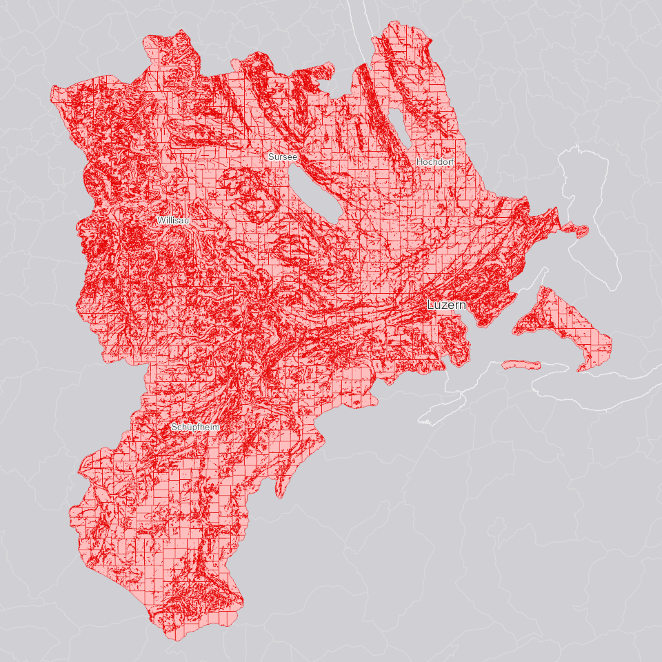
Fruchtfolgeflächen: Hangneigungsklassen
Aus dem Digitalen Terrainmodell (DTM) 2024 (unbearbeitet) abgeleitete Hangneigungsklassen in Prozent.
Simple
- Alternate title
-
FFFHNGKL_DS
- Date (Creation)
- 2024-11-22
- Presentation form
- Digital map
- Purpose
-
Gemäss der Richtlinie Fruchtfolgeflächen (FFF) ist die Hangneigung ein wichtiges Kriterium zur Beurteilung der FFF-Qualität des Bodens und deren Anrechenbarkeit an das kantonale FFF-Kontingent. Der Datensatz dient somit in Kombination mit weiteren Kriterien zur Einschätzung, ob ein Gebiet FFF-Qualität aufweisen kann sowie als Grundlage zur Erstellung des Datensatzes Fruchtfolgeflächen: Neuerhebungen (FFF-Kriterien Kt. LU).
- Status
- Completed
Publisher
Owner
- Spatial representation type
- Vector
- Topic category
-
- S Farming
Extent
Extent
- Description
-
Kanton Luzern
))
- Maintenance and update frequency
- As needed
- geocat.ch
-
-
opendata.swiss
-
Fruchtfolgefläche
-
Geländemodell
-
Landwirtschaft
-
Topographie
-
Resource constraints
- Access constraints
- none
- Use constraints
- Copyright
Resource constraints
- Use limitation
-
öffentlich zugängliche Geobasisdaten
Resource constraints
- Access constraints
- none
- Use constraints
- none
Resource constraints
- Use limitation
-
Freie Nutzung. Quellenangabe ist Pflicht
- Language
- Deutsch
- Character encoding
- UTF-8
- Included with dataset
- false
- Title
-
FFFHNGKL_V1_PY
- Date (Publication)
- 2024-09-23
- Name
-
FFFHNGKL_V1_PY
- Scope
-
Flächen
- Version
-
V1
- Date
- 2026-05-15
Property description
- Property name
- Flächen
- Abstract
- false
Elements
- Member name
- HNGKL
- Definition
-
Hangneigungsklasse [%]
- Cardinalities
-
1
- Type name
-
Short Integer
- Codelist
-
Code Label Definition Code Label Definition Value type 0
Neigung kleiner als 18%
<=18% - FFF 100% anrechenbar möglich
0
Neigung kleiner als 18%
<=18% - FFF 100% anrechenbar möglich
18
Neigung zwischen 18% und 25%
>18% - <=25% - FFF 50% anrechenbar möglich
18
Neigung zwischen 18% und 25%
>18% - <=25% - FFF 50% anrechenbar möglich
25
Neigung grösser als 25%
>25% - keine FFF
25
Neigung grösser als 25%
>25% - keine FFF
Elements
- Member name
- OBJECTID
- Definition
-
OBJECTID
- Cardinalities
-
1
- Type name
-
GUID
Elements
- Member name
- SHAPE
- Definition
-
Shape
- Cardinalities
-
1
- Type name
-
SHAPE
Elements
- Member name
- SHAPE_Area
- Definition
-
SHAPE_Area
- Cardinalities
-
1
- Type name
-
Double
Elements
- Member name
- SHAPE_Length
- Definition
-
SHAPE_Length
- Cardinalities
-
1
- Type name
-
Double
- Distribution format
-
-
ESRI Geodatabase (.gdb)
-
ESRI Shapefile (.shp)
-
OGC GeoPackage (.gpkg)
-
Point of contact
Digital transfer options
- OnLine resource
-
Datenshop
Produktansicht Geodatenshop
- Statement
-
Abgeleitet von: Digitales Terrainmodell (DTM) 2024, unbearbeitet
- Geometric object type
- polygon
- Reference system identifier
- EPSG:2056
- Maintenance and update frequency
- As needed
Metadata
- Metadata identifier
- c0f97303-1747-47ce-8f10-4da6850e4ec2
- Language
- Deutsch
- Character encoding
- UTF-8
Point of contact
Type of resource
- Resource scope
- Dataset
- Metadata linkage
-
https://www.geocat.ch/geonetwork/srv/api/records/c0f97303-1747-47ce-8f10-4da6850e4ec2
- Date info (Creation)
- 2024-08-19
- Date info (Revision)
- 2026-06-19T03:23:40.372221Z
Metadata standard
- Title
-
ISO19115.3-2018.che
)))