geocat.ch
Nummerierungsbereiche
Informationsebene der amtlichen Vermessung, in der einem Gemeindegebiet, einem Teil oder einer Aggregation mehrerer Gemeindegebiete eine schweizweit eindeutige, mit dem Kantonskürzel ergänzte, Nummer zugewiesen wird. Zuständig für die Zuordnung sind der Bund und die Kantone.
Simple
- Date (Creation)
- 1996-02-01
- Purpose
-
Schweizweit eindeutige Identifizierung aller Objekte der amtlichen Vermessung
- Status
- Completed
Owner
- Spatial representation type
- Vector
- Topic category
-
- B Location
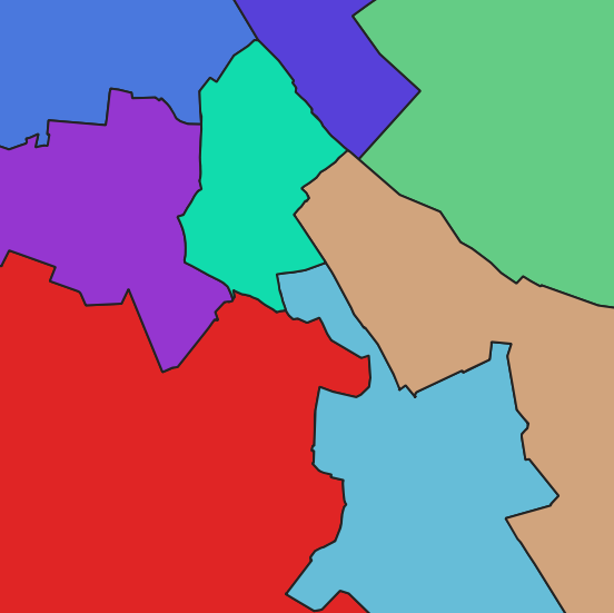
Extent
Extent
- Description
-
Canton of Basel-Stadt (BS)
))

- Maintenance and update frequency
- As needed
- geocat.ch
-
-
numbering range
-
Resource constraints
- Other constraints
-
Die Geodaten sind öffentlich zugänglich. (Zugangsberechtigungsstufe [A] = öffentlich)
- Other constraints
-
Es gelten die Nutzungsbedingungen für Geodaten des Kantons Basel-Stadt. ( http://www.geo.bs.ch/agb)
Associated resource
- Association Type
- Resource is a description of associated resource
- Metadata Reference
Associated resource
- Title
-
Amtliche Vermessung Basel-Stadt
- Association Type
- Reference to a master resource of which this one is a part
- Language
- Deutsch
- Character encoding
- UTF8
- Basic Geodata
- true
- Basic Geodata ID
-
14
- Basic Geodata Legal Level
- Cantonal
- Distribution format
-
-
ESRI Shapefile (SHP)
-
INTERLIS 1 (ITF)
-
Distributor
- Hours of service
-
Mo - Do: 8:00 bis 12:00, 13:30 bis 16:30, Fr: 8:00 bis 12:00, 13:30 bis 16:00
Digital transfer options
- OnLine resource
-
Geodaten-Shop
Öffentlich zugänglicher Geodaten-Downloaddienst des Kantons Basel-Stadt
- Reference system identifier
- CH1903+ / LV95/EPSG: 2056
Metadata
- Metadata identifier
- b4b78c03-f195-44f4-8a78-195a43ecd7a0
- Language
- Deutsch
- Character encoding
- UTF8
- Language
- Français
- Character encoding
- UTF8
- Language
- Italiano
- Character encoding
- UTF8
- Language
- English
- Character encoding
- UTF8
Custodian
Type of resource
- Resource scope
- Dataset
- Metadata linkage
-
https://www.geocat.ch/geonetwork/srv/api/records/b4b78c03-f195-44f4-8a78-195a43ecd7a0
- Date info (Creation)
- 2015-03-31T14:15:26Z
- Date info (Revision)
- 2026-04-13T09:29:01.377095Z
Metadata standard
- Title
-
eCH-0271