geocat.ch
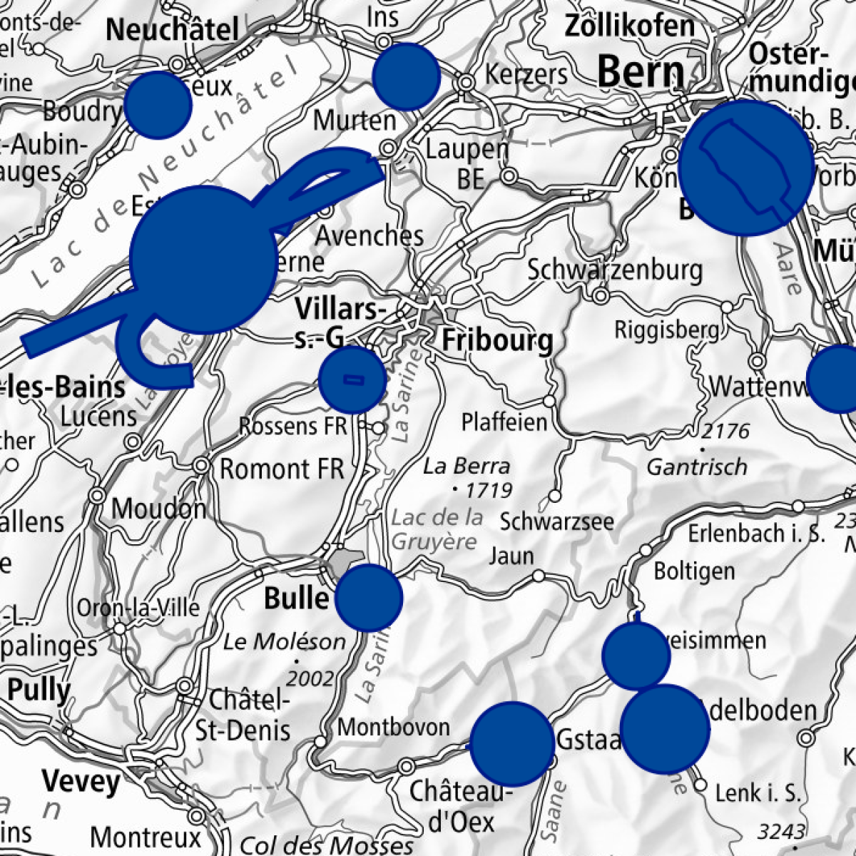
Perimeter of Obstacle Limitation Surfaces
Under Art. 63 of the Ordinance of 23 November 1994 on Aviation Infrastructure (AvIO; SR 748.131.1), FOCA authorisation is required if buildings, installations or plants penetrate a surface that forms part of an Obstacle Limitation Surface map or a safety zone plan.
Obstacle Limitation Surfaces delimit a perimeter of airspace around aerodromes which must generally be kept free of obstacles in order to ensure air safety.
These geodata cover all 2D-perimeters of safety zone plans currently in force or available for public inspection (GeoIV ID 108), as well as approved civil Obstacle Limitation Surface maps (GeoIV ID 106) and warning zones for military (GeoIV ID 201) or planned civil Obstacle Limitation Surface maps.
Simple
- Alternate title
-
Perimeter of limitation surfaces
- Date (Creation)
- 2018-12-10
- Date (Publication)
- 2018-12-10
- Identifier
- ch.bazl.hindernisbegrenzungsflaechen-perimeter
Point of contact
- Spatial representation type
- Vector
Spatial resolution
Equivalent scale
- Denominator
- 1000
Spatial resolution
Equivalent scale
- Denominator
- 100000
- Topic category
-
- P Transportation
Extent
Extent
- Description
-
Switzerland
))

Extent
Extent
- Description
-
Liechtenstein
))

- Maintenance and update frequency
- Unknown
Resource format
- Title
-
ESRI Shapefile (SHP)
- Date
- geocat.ch
-
-
air navigation obstacle
-
air navigation
-
perimeter
-
- geocat.ch
-
-
FSDI Federal Spatial Data Infrastructure
-
Resource constraints
- Use constraints
- Other restrictions
- Other constraints
- Opendata BY: Open use. Must provide the source.
- Other constraints
- Language
- Deutsch
- Character encoding
- UTF8
- Distribution format
-
-
ESRI Shapefile (SHP)
-
Digital transfer options
- OnLine resource
-
RESTful API von geo.admin.ch
RESTful API from geo.admin.ch
Digital transfer options
- OnLine resource
-
ch.bazl.hindernisbegrenzungsflaechen-perimeter
Link to WMS
Digital transfer options
- OnLine resource
-
Vorschau map.geo.admin.ch
- Geometric object type
- Surface
- Reference system identifier
- EPSG:2056
Metadata
- Metadata identifier
- b1ccf10f-77b6-45b8-afa7-8ed92100476c
- Language
- Deutsch
- Character encoding
- UTF8
- Language
- Français
- Character encoding
- UTF8
- Language
- Italiano
- Character encoding
- UTF8
- Language
- English
- Character encoding
- UTF8
- Language
- Rumantsch
- Character encoding
- UTF8
Point of contact
Type of resource
- Resource scope
- Dataset
- Metadata linkage
-
https://www.geocat.ch/geonetwork/srv/api/records/b1ccf10f-77b6-45b8-afa7-8ed92100476c
- Date info (Creation)
- 2018-11-28T10:06:59Z
- Date info (Revision)
- 2026-06-15T09:19:03.943766Z
Metadata standard
- Title
-
eCH-0271