geocat.ch
Leitungskataster Gas (LGV)
Leitungskataster Gas der Liechtensteinischen Gasversorgung (LGV) in SIA405-Darstellung mit Erweiterung FL
Simple
- Date (Publication)
- 2012-03-21
- Identifier
- li.lk_gas
- Purpose
-
Dokumentation des Gasleitungsnetzes
- Status
- Completed
Point of contact
- Hours of service
-
7:30-12:00 und 13:00-17:00
- Spatial representation type
- Vector
Spatial resolution
- Spatial resolution
- 0.2 m
- Topic category
-
- Q Utilities communication
Extent
Extent
- Description
-
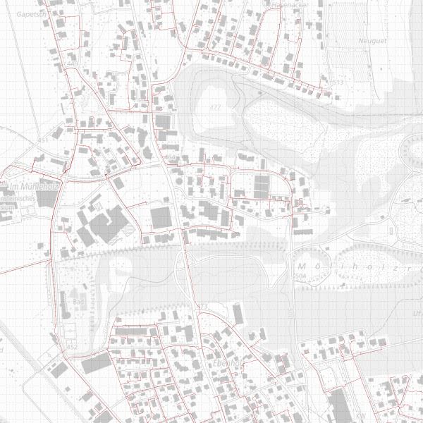
Liechtenstein
))

- Maintenance and update frequency
- As needed
Resource format
- Title
-
INTERLIS 1 (ITF)
- Date
- geocat.ch
-
-
gas pipeline
-
pipeline cadastre
-
- GEMET
-
-
gaswork
-
gas network
-
gas supply
-
natural gas
-
- GEMET - INSPIRE themes, version 1.0
-
-
Utility and governmental services
-
- Räumlicher Anwendungsbereich
-
-
National
-
Resource constraints
- Use limitation
-
geührenpflichtig
- Access constraints
- Restricted
- Country
- LI
- Legislation Type
- nationalLaw
- Title
-
Geoinformationsgesetz
- Alternate title
-
GeoIG
- Date (Creation)
- 2010-12-15
- mco:otherCitationDetails
-
Art. 12 Abs. 1: Öffentliche Sicherheit
Resource constraints
- Use constraints
- License
- Country
- LI
- Legislation Type
- Ordinance
- Legislation Level
- national
- Title
-
Verordnung über die Gebühren für die Nutzung der Geodateninfrastruktur Liechtenstein
- Alternate title
-
GDI-Gebührenverordnung (GDI-GebV)
- Date (Creation)
- 2011-08-30
- Language
- Deutsch
- Character encoding
- UTF8
- Subtopic Category
- Q1 Energy
- Language
- Deutsch
- Included with dataset
- 0
- Title
-
SIA405_mit_Erweiterungen_FL
- Date (Publication)
- 2011-07-22
- Other citation details
-
Gasleitungspunkte, Gasleitungen
- Distribution format
-
-
INTERLIS 1 (ITF)
-
ESRI Shapefile (SHP)
-
AutoCAD DXF (DXF)
-
Point of contact
- Hours of service
-
7:30-12:00 und 13:00-17:00
- Ordering instructions
-
Detaillierter Werkkataster erhältlich
Point of contact
- Hours of service
-
8:00-11:30 und 13:30-17:00
- Fees
-
Bereitstellungsgebühr CHF 60.50 pro 30 Min. sowie Nutzungsgebühr CHF 5.- pro Ebene u. angef. km2
- Ordering instructions
-
Detaillierter Werkkataster nicht erhältlich
Digital transfer options
- Hierarchy level
- Dataset
Report
Result
- Title
-
VERORDNUNG (EG) Nr. 1089/2010 DER KOMMISSION vom 23. November 2010 zur Durchführung der Richtlinie 2007/2/EG des Europäischen Parlaments und des Rates hinsichtlich der Interoperabilität von Geodatensätzen und -diensten
- Date (Creation)
- 2012-03-21
- Explanation
-
Gemäss INSPIRE Bestandteil des Themas Versorgungswirtschaft und staatliche Dienste. Bisher kein Durchführungsrichtlinien vorhanden.
- Pass
- false
- Statement
-
GPS Einmessung, Tachimetrisch, Messband
- Hierarchy level
- Dataset
- Topology level
- Topology 1D
- Geometric object type
- Point
- Geometric object count
- 35500
- Geometric object type
- Curve
- Geometric object count
- 32700
- Reference system identifier
- http://www.opengis.net/def/crs/EPSG/0/21782
- Maintenance and update frequency
- As needed
Metadata
- Metadata identifier
- af4f7080-7f50-4a59-b094-cf6b5b0654a5
- Language
- Deutsch
- Character encoding
- UTF8
- Language
- Français
- Character encoding
- UTF8
- Language
- Italiano
- Character encoding
- UTF8
- Language
- English
- Character encoding
- UTF8
Point of contact
- Hours of service
-
8:00-11:30 und 13:30-17:00
Type of resource
- Resource scope
- Dataset
- Metadata linkage
-
https://www.geocat.ch/geonetwork/srv/api/records/af4f7080-7f50-4a59-b094-cf6b5b0654a5
- Date info (Creation)
- 2012-04-11T10:47:47Z
- Date info (Revision)
- 2026-05-05T12:38:18.294814Z
Metadata standard
- Title
-
eCH-0271