geocat.ch
Sectoral plan on transport, aviation infrastructure section (SIL)
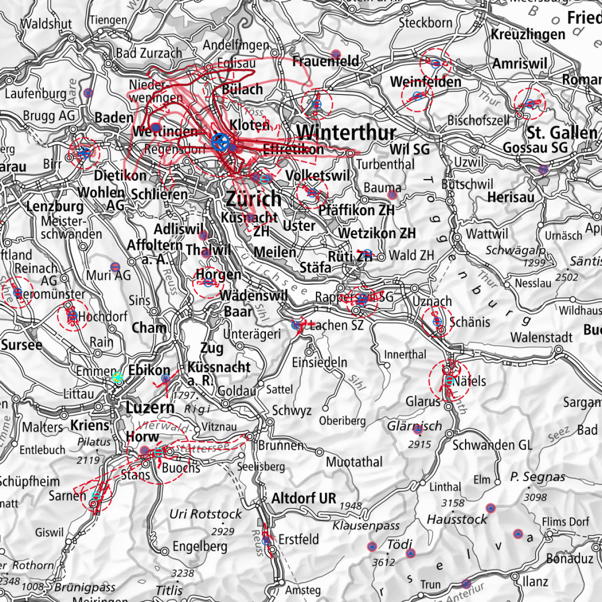
The sectoral plan on transport, aviation infrastructure section (SIL) is the federal planning and coordination tool for the civil aviation. Therein the goals and objectives for the infrastructure of Switzerland's civil aviation are bindingly established for authorities. Concerning the individual aerodromes it determines the purpose, the claimed area, the broad use, the exploitation and the conditions for operation. It also represents the impact on space and the environment (Verordnung über die Infrastruktur der Luftfahrt VIL Art. 3a). Thus, the SIL is the basis for approval of the construction and operation of all infrastructure of civil aviation: national airports, regional aerodromes, co-use civil- military aerodromes, airfields, heliports, mountain landing sites and air traffic control systems.The SIL consists of two parts: the concept of the general goals and objectives, and an object part, with the specific requirements for each facility.
Simple
- Alternate title
-
SP Aviation infrastructure
- Date (Publication)
- 2025-10-29T00:00:00
- Date (Creation)
- 2002-01-01T00:00:00
- Identifier
- ch.bazl.sachplan-infrastruktur-luftfahrt_kraft
- Presentation form
- Digital document
- Purpose
-
Geobasisdaten des Bundesrechts
- Status
- On going
Point of contact
Owner
specialistAuthority
- Spatial representation type
- Vector
Spatial resolution
Equivalent scale
- Denominator
- 25000
- Topic category
-
- E Planning cadastre
- P Transportation
Extent
Extent
- Description
-
Switzerland
))

- Maintenance and update frequency
- As needed
- Duration of Conservation
- 20
- Comment on Duration of Conservation
-
Nutzung durch die Bundesverwaltung
- Appraisal of Archival Value
- A
- Reason for Archiving Value
- Evidence of business practice
- Comment on Archival Value
-
Behördenverbindlich, Historisierung
- geocat.ch
-
-
sectoral plan
-
airfield
-
Conservation and archiving planning AAP - Confederation
-
air navigation
-
opendata.swiss
-
FSDI Federal Spatial Data Infrastructure
-
official geodata
-
- GEMET
-
-
airport
-
civil air traffic
-
air traffic
-
- GEMET - INSPIRE themes, version 1.0
-
-
Transport networks
-
Resource constraints
- Use constraints
- Other restrictions
- Other constraints
- Opendata BY: Open use. Must provide the source.
- Other constraints
Associated resource
- Title
-
Sachplan Verkehr, Teil Infrastruktur Luftfahrt (Sachplan Infrastruktur der Luftfahrt)
- Association Type
- Reference to a master resource of which this one is a part
- Language
- Deutsch
- Character encoding
- UTF8
- Language
- Français
- Character encoding
- UTF8
- Language
- Italiano
- Character encoding
- UTF8
- Subtopic Category
- E1 Spatial Planning, Spatial Development
- Basic Geodata
- true
- Basic Geodata ID
-
102.1
- Basic Geodata Legal Level
- Federal
- Distribution format
-
-
INTERLIS 2 (XTF)
-
OGC Geopackage (GPKG)
-
Digital transfer options
- OnLine resource
-
Vorschau map.geo.admin.ch
Preview map.geo.admin.ch
Digital transfer options
Digital transfer options
Digital transfer options
Digital transfer options
Digital transfer options
Digital transfer options
- OnLine resource
-
ch.bazl.sachplan-infrastruktur-luftfahrt_kraft
Link to WMS
Digital transfer options
- OnLine resource
-
RESTful API von geo.admin.ch
RESTful API from geo.admin.ch
Digital transfer options
- Statement
-
Data were digitized at a higher scale (1:25000 majority) and may be used only for large-scale surveys. It may not be made any binding statements regarding basic property.
- Hierarchy level
- Dataset
- Geometric object type
- Composite
- Reference system identifier
- EPSG:2056
Metadata
- Metadata identifier
- ae5fa63c-c153-496a-b8a6-c896126398b1
- Language
- Deutsch
- Character encoding
- UTF8
- Language
- Français
- Character encoding
- UTF8
- Language
- Italiano
- Character encoding
- UTF8
- Language
- English
- Character encoding
- UTF8
- Language
- Rumantsch
- Character encoding
- UTF8
Point of contact
Type of resource
- Resource scope
- Dataset
- Metadata linkage
-
https://www.geocat.ch/geonetwork/srv/api/records/ae5fa63c-c153-496a-b8a6-c896126398b1
- Date info (Creation)
- 2011-06-28T11:32:17Z
- Date info (Revision)
- 2026-04-13T09:42:47.244201Z
Metadata standard
- Title
-
eCH-0271