geocat.ch
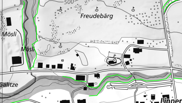
Waldabstandslinien
Bauten und Anlagen in Waldesnähe sind nur zulässig, wenn sie die Erhaltung, Pflege und Nutzung des Waldes nicht beeinträchtigen. Die Kantone legen aufgrund rechtskräftiger Waldabstandslinien einen angemessenen Mindestabstand fest, der zwischen den Bauten und Anlagen und dem Waldrand einzuhalten ist. Dieser Abstand wird unter Berücksichtigung der Lage und der voraussichtlichen Höhe der Bestockung ermittelt. Die Daten basieren auf dem MGDM Waldabstandslinien (ID 159.1, Version 1.2).
Simple
- Date (Creation)
- 2017-11-01
Resource provider
- Topic category
-
- E Planning cadastre
Extent
Extent
- Description
-
Switzerland
))

- Maintenance and update frequency
- Daily
- geocat.ch
-
-
forest clearance
-
land use planning
-
canton
-
minimum geodata model MGDM
-
official geodata
-
geodienste.ch
-
- GEMET
-
-
wood
-
federal law
-
- Language
- Deutsch
- Character encoding
- UTF8
- Subtopic Category
- E1 Spatial Planning, Spatial Development
- Basic Geodata
- true
- Basic Geodata ID
-
159.1
- Basic Geodata Legal Level
- Federal
- Distribution format
-
-
STAC
-
OGC Web Map Service (WMS)
-
OGC Web Feature Service (WFS)
-
OGC Geopackage (GPKG)
-
ESRI Shapefile (SHP)
-
Digital transfer options
- OnLine resource
-
Dokumentation
Report on the implementation of services, data, and attributes.
Digital transfer options
- OnLine resource
-
Daten
WMS
Digital transfer options
- OnLine resource
-
Datenbezug
Data access
Digital transfer options
- OnLine resource
-
STAC
STAC
- Reference system identifier
- EPSG:2056
Metadata
- Metadata identifier
- a81f0dc0-a795-4035-822c-4c3bf36e0916
- Language
- Deutsch
- Character encoding
- UTF8
- Language
- Français
- Character encoding
- UTF8
- Language
- Italiano
- Character encoding
- UTF8
- Language
- English
- Character encoding
- UTF8
Resource provider
Type of resource
- Resource scope
- Dataset
- Metadata linkage
-
https://www.geocat.ch/geonetwork/srv/api/records/a81f0dc0-a795-4035-822c-4c3bf36e0916
- Date info (Creation)
- 2017-11-01T00:00:00.000Z
- Date info (Revision)
- 2026-06-20T23:05:58.688871Z
Metadata standard
- Title
-
GM03_2