geocat.ch
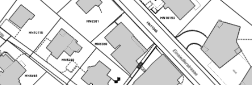
Amtliche Vermessung
Daten der amtliche Vermessung mit kommunalen Erweiterungen
Semplice
- Data (Creazione)
- 2015-01-01
- Stato
- In corso
Proprietario
- Tipo di rappresentazione spaziale
- Vettoriale
- Categoria ISO
-
- E Catasto urbanistico
Estensione
Estensione
- Descrizione
-
Horgen
N
S
E
W
))

- Frequenza di aggiornamento
- Continua
Formato della risorsa
- Titolo
-
Oracle DB
- Data
- Edizione
-
-
- geocat.ch
-
-
misurazione ufficiale MU
-
- GEMET
-
-
catasto dei terreni
-
catasto dei terreni e delle proprietà
-
Vincoli sulle risorse
- Altri vincoli
-
Öffentlich sichtbar, bestellbar, Dienst verfügbar
- Lingua
- Deutsch
- Codifica dei caratteri
- UTF8
- Categoria di sottotema
- E2 Catasto, Registro fondiario
- Formato (codifica)
-
-
ESRI Shapefile (SHP)
-
AutoCAD DXF (DXF)
-
OGC Geopackage (GPKG)
-
GeoJSON (GEOJSON)
-
INTERLIS
-
Distributore
- Nome del sistema di riferimento
- EPSG:2056
Metadati
- Identificativo della scheda
- a660c13c-3fcd-4351-b185-4d6f9b7dd2f1
- Lingua
- Deutsch
- Codifica dei caratteri
- UTF8
- Lingua
- Français
- Codifica dei caratteri
- UTF8
- Lingua
- Italiano
- Codifica dei caratteri
- UTF8
- Lingua
- English
- Codifica dei caratteri
- UTF8
Custode
Tipo di risorsa
- Ambito di applicazione della risorsa
- Set di dati
- Collegamento ai metadati
-
https://www.geocat.ch/geonetwork/srv/api/records/a660c13c-3fcd-4351-b185-4d6f9b7dd2f1
- Informazioni sulla data (Creazione)
- 2021-10-19T06:52:51Z
- Informazioni sulla data (Revisione)
- 2026-06-15T07:25:26.211406Z
Standard dei metadati
- Titolo
-
eCH-0271