geocat.ch
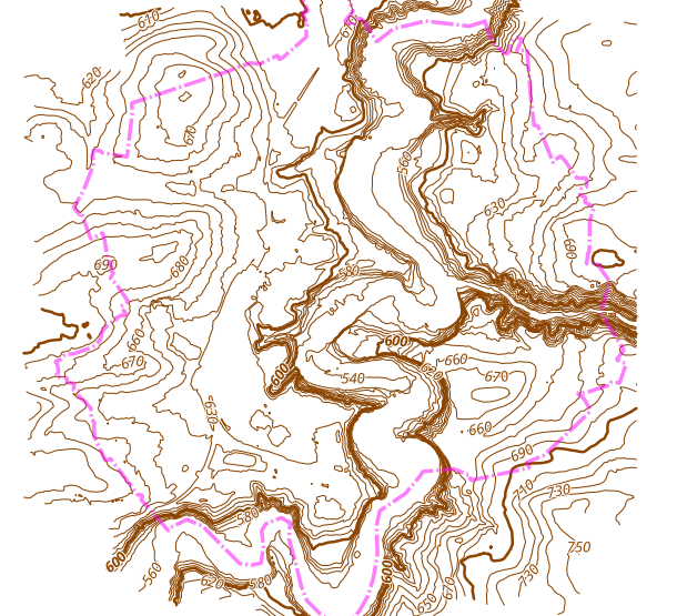
Courbes de niveaux 1m (LiDAR 2019) - Ville de Fribourg
Courbes de niveaux 1m issues du vol LiDAR 2019
Simple
- Alternate title
-
Courbe de niveau
- Date (Creation)
- 2023-09-25
- Status
- Completed
Custodian
- Topic category
-
- C Elevation
Extent
Extent
- Description
-
Fribourg
N
S
E
W
))

- geocat.ch
-
-
courbe de niveau
-
LIDAR (Light Detection And Ranging)
-
topographie
-
- Language
- Français
- Distribution format
-
-
nan
-
Digital transfer options
- OnLine resource
-
Guichet cartographique de la Ville de Fribourg
Digital transfer options
- OnLine resource
-
Guichet intranet de la Ville de Fribourg
Accès privé
- Statement
-
Courbes de niveaux issues du vol LiDAR 2019
- Reference system identifier
- CH1903+/MN95
Metadata
- Metadata identifier
- 986df2cc-2461-4c05-94e8-076a1c65190d
- Language
- Français
- Language
- Deutsch
Point of contact
- Metadata linkage
-
https://www.geocat.ch/geonetwork/srv/api/records/986df2cc-2461-4c05-94e8-076a1c65190d
- Date info (Creation)
- 2023-09-25T07:23:58.756Z
- Date info (Revision)
- 2026-06-08T11:21:22.224501Z
Metadata standard
- Title
-
ISO 19115-3