geocat.ch
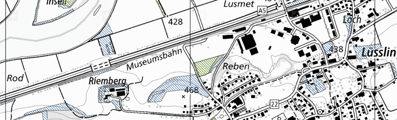
Biodiversitätsförderflächen, Qualitätsstufe II und Vernetzung
Um die natürliche Artenvielfalt zu erhalten und zu fördern, unterstützt der Bund Biodiversitätsförderflächen für die Qualitätsstufe II sowie für die Vernetzung. Die Daten basieren auf dem MGDM Biodiversitätsförderflächen, Qualitätsstufe II und Vernetzung (ID 153.3, ID 153.4, Version 2.0).
Simple
- Date (Creation)
- 2017-11-01
Resource provider
- Topic category
-
- S Farming
Extent
Extent
- Description
-
Switzerland
))

- Maintenance and update frequency
- Daily
- geocat.ch
-
-
official geodata
-
minimum geodata model MGDM
-
canton
-
geodienste.ch
-
- GEMET
-
-
federal law
-
- Language
- Deutsch
- Character encoding
- UTF8
- Basic Geodata
- true
- Basic Geodata ID
-
153.3, 153.4
- Basic Geodata Legal Level
- Federal
- Distribution format
-
-
STAC
-
OGC Web Map Service (WMS)
-
OGC Web Feature Service (WFS)
-
OGC Geopackage (GPKG)
-
ESRI Shapefile (SHP)
-
Digital transfer options
- OnLine resource
-
Dokumentation
Report on the implementation of services, data, and attributes.
Digital transfer options
- OnLine resource
-
Daten
WMS
Digital transfer options
- OnLine resource
-
Datenbezug
Data access
Digital transfer options
- OnLine resource
-
STAC
STAC
- Reference system identifier
- EPSG:2056
Metadata
- Metadata identifier
- 964559b8-f24c-4e77-a367-594761f21ebd
- Language
- Deutsch
- Character encoding
- UTF8
- Language
- Français
- Character encoding
- UTF8
- Language
- Italiano
- Character encoding
- UTF8
- Language
- English
- Character encoding
- UTF8
Resource provider
Type of resource
- Resource scope
- Dataset
- Metadata linkage
-
https://www.geocat.ch/geonetwork/srv/api/records/964559b8-f24c-4e77-a367-594761f21ebd
- Date info (Creation)
- 2017-11-01T00:00:00.000Z
- Date info (Revision)
- 2026-06-20T23:04:10.302629Z
Metadata standard
- Title
-
GM03_2