geocat.ch
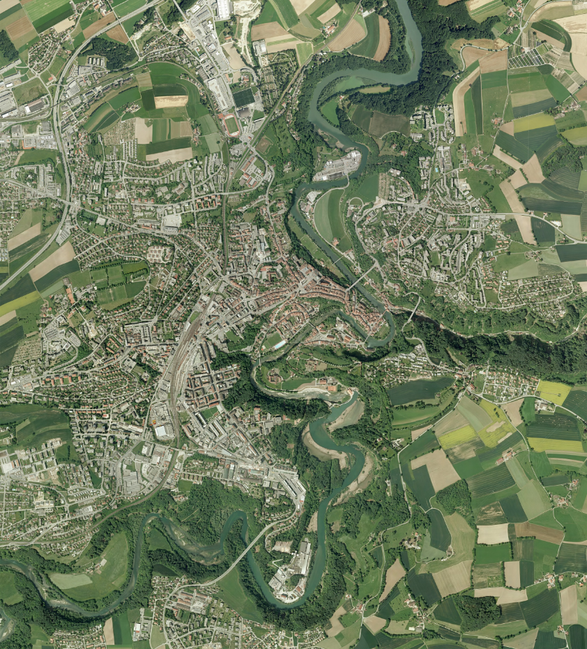
Orthophoto de 2008-2009 - Ville de Fribourg
Orthophoto de la Ville de Fribourg réalisée par Swissair/Swissphoto en 2008-2009.
Simple
- Date (Creation)
- 2025-11-07
User
- Topic category
-
- A Imagery base maps earth cover
Extent
Extent
- Description
-
Fribourg
N
S
E
W
))

- Maintenance and update frequency
- Unknown
- GEMET
-
-
photo
-
- GEMET - INSPIRE themes, version 1.0
-
-
Ortho-imagerie
-
- geocat.ch
-
-
orthophoto
-
carte historique
-
- Language
- Français
- Subtopic Category
- A3 Aerial and Satellite Imagery
- Distribution format
-
-
nan
-
Digital transfer options
- OnLine resource
-
Guichet intranet de la Ville de Fribourg
Accès privé
Digital transfer options
- OnLine resource
-
Guichet cartographique de la Ville de Fribourg
- Reference system identifier
- CH1903+/MN95
Metadata
- Metadata identifier
- 81b289a3-4dd8-4a08-a266-e2655215591b
- Language
- Français
- Language
- Deutsch
Point of contact
- Metadata linkage
-
https://www.geocat.ch/geonetwork/srv/api/records/81b289a3-4dd8-4a08-a266-e2655215591b
- Date info (Creation)
- 2025-11-07T09:56:24.294Z
- Date info (Revision)
- 2026-06-08T11:20:03.085644Z
Metadata standard
- Title
-
ISO 19115-3