geocat.ch
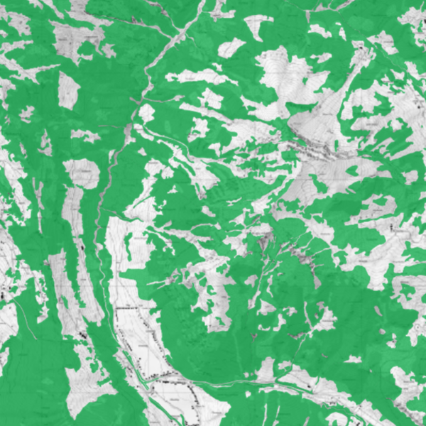
Forest masks
Forest masks prepared in accordance with the Forest Act for internal use within the national administration. Further information is provided by the Office for the Environment.
Simple
- Date (Publication)
- 2022-05-10
- Identifier
- https://metadata.geo.llv.li/7ff9825e-12f5-45ee-a911-e5e13b2a7133
- Status
- On going
Owner
- Hours of service
-
8:00-11:30 und 13:30-17:00
- Spatial representation type
- Vector
Spatial resolution
Equivalent scale
- Denominator
- 5000
- Topic category
-
- G Biota
Extent
Extent
- Description
-
Liechtenstein
))

- Maintenance and update frequency
- Continual
- geocat.ch
-
-
declaration as forest
-
forest line
-
- GEMET - INSPIRE themes, version 1.0
-
-
Land use
-
- Räumlicher Anwendungsbereich
-
-
National
-
- GEMET
-
-
forest resource
-
- Language
- Deutsch
- Character encoding
- UTF8
- Distribution format
-
-
INTERLIS 1 (ITF)
-
ESRI Shapefile (SHP)
-
ESRI File Geodatabase FileGDB (GDB)
-
OGC Geopackage (GPKG)
-
Point of contact
- Hours of service
-
8:00-11:30 und 13:30-17:00
- Hierarchy level
- Dataset
Report
Result
- Title
-
VERORDNUNG (EG) Nr. 1089/2010 DER KOMMISSION vom 23. November 2010 zur Durchführung der Richtlinie 2007/2/EG des Europäischen Parlaments und des Rates hinsichtlich der Interoperabilität von Geodatensätzen und -diensten
- Date (Publication)
- 2010-12-08
- Explanation
-
Gemäss INSPIRE Bestandteil des Themas "Bewirtschaftungsgebiete/Schutzgebiete/geregelte Gebiete und Berichterstattungseinheiten"
- Pass
- false
- Statement
-
Digitalisierung
- Hierarchy level
- Dataset
- Topology level
- Full planar graph
- Geometric object type
- Surface
- Geometric object count
- 1000
- Reference system identifier
- http://www.opengis.net/def/crs/EPSG/0/2056
- Reference system identifier
- http://www.opengis.net/def/crs/EPSG/0/4936
- Maintenance and update frequency
- As needed
Metadata
- Metadata identifier
- 7ff9825e-12f5-45ee-a911-e5e13b2a7133
- Language
- Deutsch
- Character encoding
- UTF8
- Language
- Français
- Character encoding
- UTF8
- Language
- Italiano
- Character encoding
- UTF8
- Language
- English
- Character encoding
- UTF8
Point of contact
- Hours of service
-
8:00-11:30 und 13:30-17:00
Type of resource
- Resource scope
- Dataset
- Metadata linkage
-
https://www.geocat.ch/geonetwork/srv/api/records/7ff9825e-12f5-45ee-a911-e5e13b2a7133
- Date info (Creation)
- 2025-10-24T13:22:19.851Z
- Date info (Revision)
- 2026-04-13T09:32:27.879944Z
Metadata standard
- Title
-
eCH-0271