geocat.ch
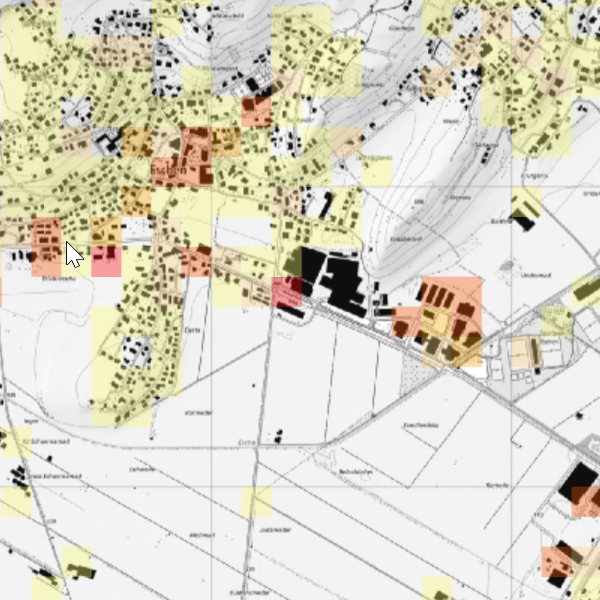
Job density
Job density. Job density per hectare is derived from employment statistics. Further details are provided via the Liechtenstein Statistics Portal. For further enquiries, please contact the Office of Statistics.
Simple
- Date (Publication)
- 2024-12-31
- Identifier
- https://metadata.geo.llv.li/7c7e0e35-fb93-4391-9bde-7a8b396226a1
- Status
- On going
Owner
- Hours of service
-
8:00-11:30 und 13:30-17:00
Publisher
- Hours of service
-
8:00-11:30 und 13:30-17:00
- Spatial representation type
- Vector
Spatial resolution
Equivalent scale
- Denominator
- 1000
- Topic category
-
- M Society
Extent
Extent
- Description
-
Liechtenstein
))

- Maintenance and update frequency
- Annually
- GEMET - INSPIRE themes, version 1.0
-
-
Population distribution — demography
-
- Räumlicher Anwendungsbereich
-
-
National
-
- GEMET
-
-
population density
-
transport
-
economics
-
- Language
- Deutsch
- Character encoding
- UTF8
- Distribution format
-
-
ESRI File Geodatabase FileGDB (GDB)
-
OGC Geopackage (GPKG)
-
Distributor
- Hours of service
-
8:00-11:30 und 13:30-17:00
Digital transfer options
- OnLine resource
-
Geodatenportal der Liechtensteinischen Landesverwaltung
Geodata portal of the Liechtenstein National Administration
- Hierarchy level
- Dataset
Report
Result
- Title
-
VERORDNUNG (EG) Nr. 1089/2010 DER KOMMISSION vom 23. November 2010 zur Durchführung der Richtlinie 2007/2/EG des Europäischen Parlaments und des Rates hinsichtlich der Interoperabilität von Geodatensätzen und -diensten
- Date (Publication)
- 2010-12-08
- Explanation
-
Gemäss INSPIRE Bestandteil des Themas "Bewirtschaftungsgebiete/Schutzgebiete/geregelte Gebiete und Berichterstattungseinheiten"
- Pass
- false
- Statement
-
Digitalisierung
- Hierarchy level
- Dataset
- Geometric object type
- Surface
- Geometric object count
- 2000
- Reference system identifier
- http://www.opengis.net/def/crs/EPSG/0/2056
- Reference system identifier
- http://www.opengis.net/def/crs/EPSG/0/4936
- Maintenance and update frequency
- As needed
Metadata
- Metadata identifier
- 7c7e0e35-fb93-4391-9bde-7a8b396226a1
- Language
- Deutsch
- Character encoding
- UTF8
- Language
- Français
- Character encoding
- UTF8
- Language
- Italiano
- Character encoding
- UTF8
- Language
- English
- Character encoding
- UTF8
Owner
- Hours of service
-
8:00-11:30 und 13:30-17:00
Type of resource
- Resource scope
- Dataset
- Metadata linkage
-
https://www.geocat.ch/geonetwork/srv/api/records/7c7e0e35-fb93-4391-9bde-7a8b396226a1
- Date info (Creation)
- 2026-01-16T15:22:15.534Z
- Date info (Revision)
- 2026-04-13T09:32:21.433098Z
Metadata standard
- Title
-
eCH-0271