geocat.ch
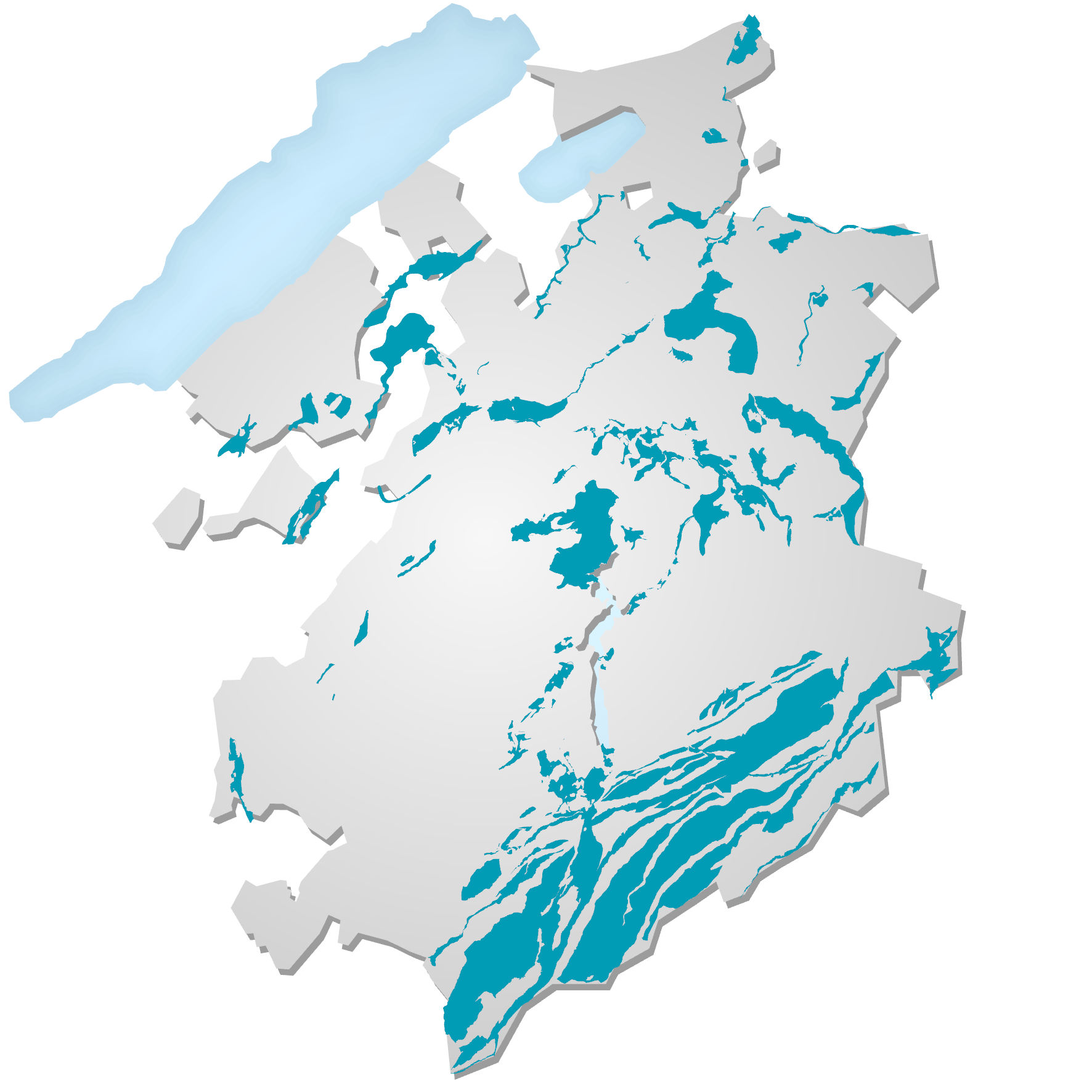
Zones réservées pour l’eau potable
Zones réservées à l'exploitation de l’eau potable: l'implantation de nouvelles sondes géothermiques verticales (SGV) y est interdite. Délimitées selon des critères hydrogéologiques, d’utilisation de l'eau et d'aménagement du territoire, ces zones regroupent les aquifères d'intérêt public (débit moyen exploitable égal ou supérieur à 200 l/min), à l'exception de certains secteurs de la zone à bâtir situés sur des aquifères de moindre importance stratégique pour l’alimentation en eau potable. Cette donnée sert à établir la carte d'admissibilité des SGV.
Einfach
- Alternativtitel
-
Zones réservées pour l’eau potable ZEPot (interdiction de SGV)
- Datum (Publikation)
- 2021-06-22
- Präsentationsform
- Digitale Karte
- Bearbeitungsstatus
- Kontinuierliche Aktualisierung
Ansprechpartner
- Räumliche Darstellungsart
- Vektor
Räumliche Auflösung
Vergleichsmassstab
- Massstabszahl
- 10000
- Thematik
-
- L Umwelt
Ausdehnung
Ausdehnung
- Beschreibung
-
Kanton Freiburg (FR)
))

- Wartungsintervall
- Bei Bedarf
Format der Ressource
- Titel
-
ESRI Enterprise Geodatabase
- Datum
- GEMET
-
-
Erdwärme
-
Ressourcenbeschränkungen
- Andere Einschränkungen
-
Propriété de l'Etat de Fribourg, accès public
- Sprache
- Français
- Zeichenkodierung
- Utf8
- Beschreibung der Arbeitsumgebung
-
Serveur de consultation: OPR4034S_SGV_INTERDICT_ZEPOT
- Thematische Unterkategorien
- L1 Umweltschutz, Lärm
- Mit Datensatz geliefert
- 0
- Titel
-
Zones d’interdiction des sondes géothermiques verticales (SGV)
- Datum (Publikation)
- 2016-04-18
- Titel Objektartenkatalog
-
Zones d’interdiction des sondes géothermiques verticales (SGV)
- Datum Katalog
- 2016-04-18
Beschreibung Objektart
- Name Objektart
- OPR4034S_SGV_INTERDICT_ZEPOT
- Definition
-
Zones d’interdiction des sondes géothermiques verticales (SGV)
Merkmale der Attribute
- Bezeichnung
- AQUIFERES_ID
- Definition
-
Identifiant cantonal de l'aquifère
Merkmale der Attribute
- Bezeichnung
- NOM
- Definition
-
Nom ou localisation de l'aquifère
Merkmale der Attribute
- Bezeichnung
- ZEPOT_CRITERE
- Definition
-
Motif justifiant l'interdiction des SGV: "hydrogéologie" ou "aménagement du territoire"
- Erklärung
-
Les données proviennent du Service de l’environnement
- Bezugsebene
- Datenbestand
- Typ des geometrischen Objekts
- surface
- Anzahl geometrischer Objekte
- 10
- Name des Referenzsystems
- CH1903+/MN95, Système de coordonnées nationales (EPSG:2056)
Metadaten
- Identifikator des Metadatensatzes
- 75c6f67a-4916-4cc5-827e-78e9cb84791f
- Sprache
- Français
- Zeichenkodierung
- Utf8
- Sprache
- Deutsch
- Zeichenkodierung
- Utf8
- Sprache
- Italiano
- Zeichenkodierung
- Utf8
- Sprache
- English
- Zeichenkodierung
- Utf8
Ansprechpartner
Anwendungsbereich der Metadaten
- Domäne der Ressourcenanwendung
- Datenbestand
- Link zu den Metadaten
-
https://www.geocat.ch/geonetwork/srv/api/records/75c6f67a-4916-4cc5-827e-78e9cb84791f
- Datumsangaben (Erstellung)
- 2021-06-21T13:42:58Z
- Datumsangaben (Aktualisierung)
- 2026-05-27T07:43:09.704212Z
Metadatenstandard
- Titel
-
eCH-0271