geocat.ch
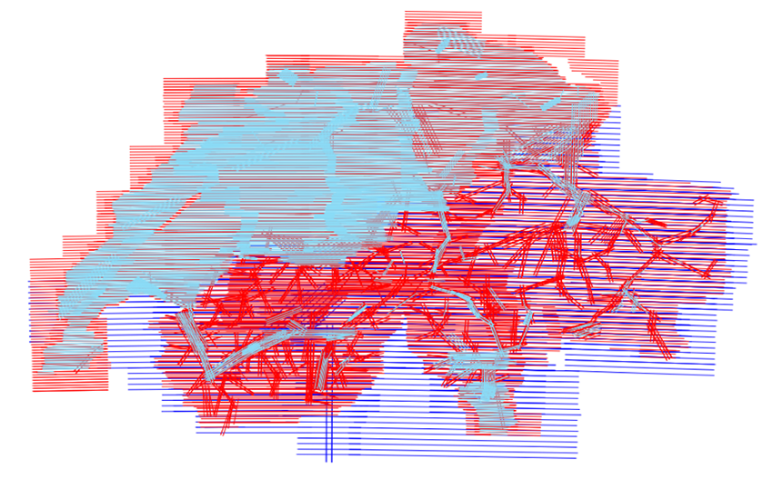
Image strips swisstopo
In context of the update cycle of the national maps and the production of the orthoimage mosaic SWISSIMAGE, swisstopo records the whole area of Switzerland with aerial image strips in a three-year cycle. Since 2008 the technology used are ADS type digital aerial cameras. Instead of recording with single images, this technology allows the landscape to be scanned in strips with a linear scanner. All image strips contain the spectral channels pan, infrared, red, green & blue. The image strips are represented by their position, their image footprint as well as the attributed metadata. The aerial image strips can be ordered as digital files. Orientation elements are included.
Simple
- Alternate title
-
Image strips swisstopo
- Date (Creation)
- 2005-01-01
- Identifier
- ch.swisstopo.lubis-bildstreifen
Point of contact
Owner
- Spatial representation type
- Grid
- Topic category
-
- A Imagery base maps earth cover
Extent
Extent
- Description
-
Switzerland
))

- Maintenance and update frequency
- userDefined
- User defined maintenance frequency
-
P3Y0M0DT0H0M0S
- Duration of Conservation
- 275
- Appraisal of Archival Value
- A
- Reason for Archiving Value
- Evidence of business practice
- geocat.ch
-
-
opendata.swiss
-
Conservation and archiving planning AAP - Confederation
-
- GEMET
-
-
multispectral scanner
-
aerial photograph
-
aerial photograph
-
- GEMET - INSPIRE themes, version 1.0
-
-
Orthoimagery
-
- geocat.ch
-
-
FSDI Federal Spatial Data Infrastructure
-
Resource constraints
- Other constraints
-
NonCommercialAllowed-CommercialAllowed-ReferenceRequired
Associated resource
- Association Type
- Reference to a master resource of which this one is a part
- Metadata Reference
Associated resource
- Title
-
Digital aerial photographs
- Association Type
- Reference to a master resource of which this one is a part
- Language
- Deutsch
- Character encoding
- UTF8
- Subtopic Category
- A3 Aerial and Satellite Imagery
- Basic Geodata
- true
- Basic Geodata ID
-
36.1
- Basic Geodata Legal Level
- Federal
- Distribution format
-
-
nan
-
Digital transfer options
- OnLine resource
-
Vorschau map.geo.admin.ch
Preview map.geo.admin.ch
Digital transfer options
- OnLine resource
-
ch.swisstopo.lubis-bildstreifen
WMS-FSDI service, layer "Image strips swisstopo"
Digital transfer options
Digital transfer options
- OnLine resource
-
Bandes d'images aériennes
Digital transfer options
- OnLine resource
-
Shop
Digital transfer options
- OnLine resource
-
LUBIS-Viewer
Digital transfer options
- OnLine resource
-
RESTful API von geo.admin.ch
RESTful API from geo.admin.ch
Metadata
- Metadata identifier
- 7392cfbf-2f3b-446f-934f-604bc9410978
- Language
- Deutsch
- Character encoding
- UTF8
- Language
- Français
- Character encoding
- UTF8
- Language
- Italiano
- Character encoding
- UTF8
- Language
- English
- Character encoding
- UTF8
- Language
- Rumantsch
- Character encoding
- UTF8
Point of contact
Type of resource
- Resource scope
- Dataset
- Metadata linkage
-
https://www.geocat.ch/geonetwork/srv/api/records/7392cfbf-2f3b-446f-934f-604bc9410978
- Date info (Creation)
- 2013-01-24T15:22:54Z
- Date info (Revision)
- 2026-04-13T09:15:41.818594Z
Metadata standard
- Title
-
eCH-0271