geocat.ch
Gravimetric Atlas of Switzerland 1:100000
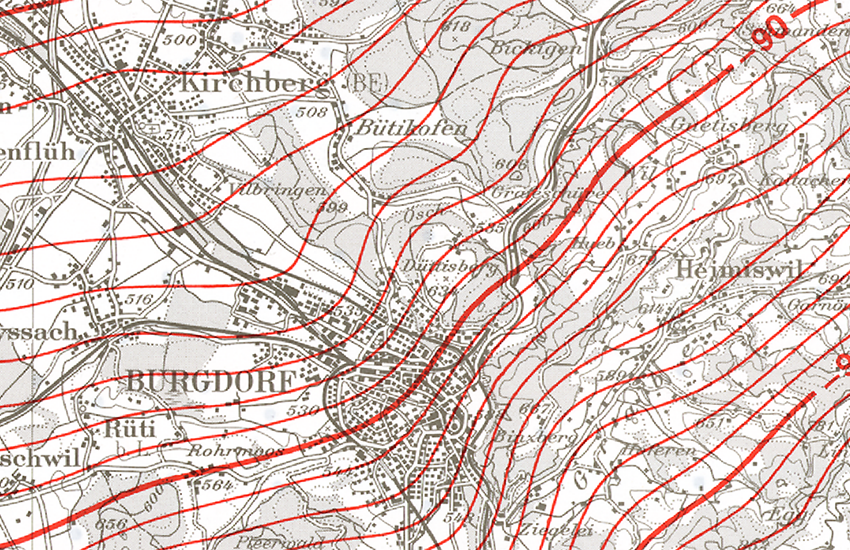
The Bouguer anomalies for Switzerland are shown on 22 sheets. A Bouguer anomaly is the difference between the gravity measured at a particular point on the Earth's surface and the gravity value expected at the same point for an Earth model with a homogeneous crust. Gravity anomalies in the Earth's crust are calculated using the International Gravity Formula of 1967. Topographic effects are taken into account using a constant density of 2670 kg/m3 to a depth of 167 km (Hayford Zone O2). The Gravimetric Atlas of Switzerland (GRAV100) is a publication of the Swiss Geophysical Commission (part of the Swiss Academy of Sciences).
Simple
- Alternate title
-
Gravimetric Atlas 100
- Date (Revision)
- 2002-12-31
- Date (Creation)
- 1994-01-01T00:00:00
- Identifier
- ch.swisstopo.geologie-gravimetrischer_atlas
- Presentation form
- Hardcopy map
- Purpose
-
Übersicht über das Schwerefeld in der Schweiz
- Status
- Completed
Distributor
Originator
Point of contact
Owner
- Spatial representation type
- paperMap
Spatial resolution
Equivalent scale
- Denominator
- 100000
- Topic category
-
- F Geoscientific information
Extent
Extent
- Description
-
Switzerland
))

- Maintenance and update frequency
- As needed
- Duration of Conservation
- 275
- Appraisal of Archival Value
- A
- Reason for Archiving Value
- Evidence of business practice
- geocat.ch
-
-
Conservation and archiving planning AAP - Confederation
-
official geodata
-
geophysical map
-
gravimetry
-
bouguer anomaly
-
opendata.swiss
-
- GEMET
-
-
geophysics
-
- geocat.ch
-
-
FSDI Federal Spatial Data Infrastructure
-
Associated resource
- Title
-
Geophysikalisches Kartenwerk
- Association Type
- Reference to a master resource of which this one is a part
- Language
- Deutsch
- Character encoding
- UTF8
- Language
- Français
- Character encoding
- UTF8
- Subtopic Category
- F1 Geology
- Basic Geodata
- true
- Basic Geodata ID
-
47.11
- Basic Geodata Legal Level
- Federal
- Distribution format
-
-
nan
-
Digital transfer options
- OnLine resource
-
Vorschau map.geo.admin.ch
Preview map.geo.admin.ch
Digital transfer options
- OnLine resource
-
ch.swisstopo.geologie-gravimetrischer_atlas
WMS-FSDI service, layer "Gravimetric Atlas 100"
Digital transfer options
- OnLine resource
-
ch.swisstopo.geologie-gravimetrischer_atlas
WMTS-FSDI service, layer "Gravimetric Atlas 100"
Digital transfer options
Digital transfer options
- Statement
-
Die Blätter des Gravimetrischen Atlas, mit dem Blattschnitt der Landeskarte 1:100 000, geben Auskunft über das Schwerefeld der Schweiz.
- Hierarchy level
- Dataset
- Reference system identifier
- Referenzsystem entsprechend der zugrundeliegenden topographischen Karte (CH1903)
Metadata
- Metadata identifier
- 732cb247-8307-4cc7-8c31-b1c505a94633
- Language
- Deutsch
- Character encoding
- UTF8
- Language
- Français
- Character encoding
- UTF8
- Language
- Italiano
- Character encoding
- UTF8
- Language
- English
- Character encoding
- UTF8
- Language
- Rumantsch
- Character encoding
- UTF8
Point of contact
Type of resource
- Resource scope
- Dataset
- Metadata linkage
-
https://www.geocat.ch/geonetwork/srv/api/records/732cb247-8307-4cc7-8c31-b1c505a94633
- Date info (Creation)
- 2009-06-11T12:00:00Z
- Date info (Revision)
- 2026-04-13T09:25:31.393065Z
Metadata standard
- Title
-
eCH-0271