geocat.ch
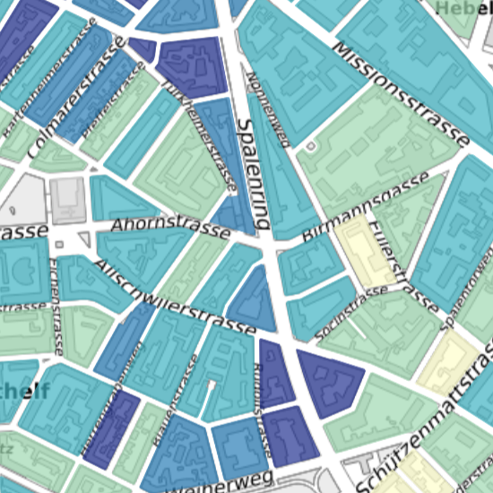
Sozialhilfe
Aus Datenschutzgründen werden nur Raumeinheiten mit mindestens 30 Einwohnern ausgewiesen. Die Sozialhilfequote wird als Anteil der aller Personen, die innerhalb eines Jahres mindestens eine Sozialhilfeleistung erhalten haben am Bevölkerungsstand Ende Jahr berechnet. Die Dossiertypen Asyl und Flüchtling sind ebenfalls berücksichtigt.
Simple
- Date (Creation)
- 2011-04-15
- Status
- Completed
Owner
- Hours of service
-
Mo - Fr: 8.00 – 12.00 Uhr oder nach Vereinbarung
- Spatial representation type
- Vector
- Topic category
-
- M Society
Extent
Extent
- Description
-
Canton of Basel-Stadt (BS)
))

- Maintenance and update frequency
- Annually
- GEMET
-
-
social policy
-
- GEMET
-
-
social welfare
-
- GEMET
-
-
social protection
-
- GEMET
-
-
social cost
-
- geocat.ch
-
-
opendata.swiss
-
Resource constraints
- Other constraints
-
Die Geodaten sind öffentlich zugänglich. (Zugangsberechtigungsstufe [A] = öffentlich)
- Other constraints
-
Es gelten die Nutzungsbedingungen für Geodaten des Kantons Basel-Stadt. ( http://www.geo.bs.ch/agb)
Associated resource
- Association Type
- Resource is a description of associated resource
- Metadata Reference
Associated resource
- Title
-
Karten der öffentlichen Statistik
- Association Type
- Reference to a master resource of which this one is a part
- Language
- Deutsch
- Character encoding
- UTF8
- Supplemental Information
-
Die Sozialhilfequote ist ein Indikator für das Risiko, von der Sozialhilfe abhängig zu werden. Personen mit Meldeadressen finden für die Berechnung der Quote keine Berücksichtigung. Es werden alle Dossiertypen der Sozialhilfe berücksichtigt ausser abgewiesene Asylsuchende mit einem sogenannten Nichteintretens- oder Negativentscheid (NEE/NE-Dossiers). Diese erhalten seit 2008 nur noch Nothilfe. Datenquelle: Statistisches Amt, Sozialhilfestatistik.
- Basic Geodata
- true
- Basic Geodata ID
-
79
- Basic Geodata Legal Level
- Cantonal
- Basic Geodata Type
- openData
- Distribution format
-
-
ESRI Shapefile (SHP)
-
ESRI File Geodatabase FileGDB (GDB)
-
TEXT, comma separated (CSV)
-
FlatGeobuf
-
OGC Geopackage (GPKG)
-
GeoParquet
-
GeoJSON (GEOJSON)
-
Distributor
- Hours of service
-
Mo - Do: 8:00 bis 12:00, 13:30 bis 16:30, Fr: 8:00 bis 12:00, 13:30 bis 16:00
Digital transfer options
- OnLine resource
-
MapBS
Öffentliches Auskunftssystem des Kantons Basel-Stadt
Digital transfer options
- OnLine resource
-
Geodaten-Shop
Öffentlich zugänglicher Geodaten-Downloaddienst des Kantons Basel-Stadt
Digital transfer options
- OnLine resource
-
WMS BS
Die derzeit im WMS BS verfügbaren Datenebenen entsprechen, bis auf wenige Ausnahmen, den Geodaten, welche auch in MapBS dargestellt sind. Der WMS BS ist kostenlos nutzbar und bietet Zugriff auf öffentliche sowie beschränkt öffentliche Geodaten, wobei gegebenenfalls Benutzername und Passwort benötigt werden (Zugangsdaten von MapBS).
Digital transfer options
- OnLine resource
-
WFS BS
Die derzeit im WFS BS verfügbaren Datenebenen entsprechen, bis auf wenige Ausnahmen, den Geodaten, welche auch in MapBS dargestellt sind. Der WFS BS ist kostenlos nutzbar und bietet Zugriff auf öffentliche sowie beschränkt öffentliche Geodaten, wobei gegebenenfalls Benutzername und Passwort benötigt werden (Zugangsdaten von MapBS).
Digital transfer options
- OnLine resource
-
Permalink opendata.swiss
Permalink opendata.swiss
- Reference system identifier
- CH1903+ / LV95/EPSG: 2056
Metadata
- Metadata identifier
- 67182162-fc31-4f18-9389-5bf58f5ce3c9
- Language
- Deutsch
- Character encoding
- UTF8
- Language
- Français
- Character encoding
- UTF8
- Language
- Italiano
- Character encoding
- UTF8
- Language
- English
- Character encoding
- UTF8
Custodian
Type of resource
- Resource scope
- Dataset
- Metadata linkage
-
https://www.geocat.ch/geonetwork/srv/api/records/67182162-fc31-4f18-9389-5bf58f5ce3c9
- Date info (Creation)
- 2012-08-28T08:51:24Z
- Date info (Revision)
- 2026-04-13T09:30:41.081205Z
Metadata standard
- Title
-
eCH-0271