geocat.ch
VECTOR25 Hedges and trees
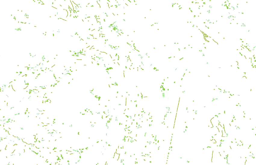
The layer hedges and trees (abbreviation "heb") includes point and line objects belonging to the type "vegetation. The objects are half-automaticaly extracted from the pixel map.
Simple
- Alternate title
-
Hedges and trees VECTOR25
- Date (Publication)
- 2008-08-31
- Identifier
- ch.swisstopo.vec25-heckenbaeume
- Other citation details
-
Part of the vECTOR25 Dataset
- Status
- Completed
Point of contact
- Spatial representation type
- Vector
Spatial resolution
Equivalent scale
- Denominator
- 25000
- Topic category
-
- G Biota
Extent
Extent
- Description
-
National Map 1:25'000
- Geographic identifier
- NM25
))

- Maintenance and update frequency
- Not planned
- Hierarchy level
- Dataset
- Maintenance note
-
Since 2008 not updated anymore
Resource format
- Title
-
ESRI ArcInfo coverage (COV)
- Date
- geocat.ch
-
-
landscape model
-
e-geo.ch
-
GIS (Geographic Information System)
-
- GEMET
-
-
tree
-
geographic information system
-
hedge
-
vegetation
-
- GEMET - INSPIRE themes, version 1.0
-
-
Land cover
-
- geocat.ch
-
-
FSDI Federal Spatial Data Infrastructure
-
Resource constraints
- Use constraints
- License
Associated resource
- Association Type
- Reference to a master resource of which this one is a part
- Metadata Reference
Associated resource
- Title
-
Topografisches Landschaftsmodell (Landesvermessung)
- Association Type
- Reference to a master resource of which this one is a part
- Language
- Deutsch
- Character encoding
- UTF8
- Language
- English
- Character encoding
- UTF8
- Environment description
-
ARC/INFO
- Supplemental Information
-
The layers Road network, Railway network, Other traffic, Hydrographic network, Primary surfaces, Buildings, Hedges and trees, Functional surfaces and Single objects build together the dataset VECTOR25.
- Compliance code
- 0
- Language
- Deutsch
- Language
- Français
- Included with dataset
- 0
- Title
-
VECTOR25 Das digitale Lanschaftsmodell der Schweiz : Produkteinformation
- Date (Publication)
- 2007-06-01
- Presentation form
- Digital document
- Distribution format
-
-
AutoCAD DXF (DXF)
-
ESRI Shapefile (SHP)
-
Digital transfer options
- OnLine resource
-
Vorschau map.geo.admin.ch
Preview map.geo.admin.ch
Digital transfer options
- OnLine resource
-
ch.swisstopo.vec25-heckenbaeume
WMS-FSDI service, layer "Hedges and trees VECTOR25"
Digital transfer options
- OnLine resource
-
ch.swisstopo.vec25-heckenbaeume
WMTS-FSDI service, layer "Hedges and trees VECTOR25"
Digital transfer options
Digital transfer options
- OnLine resource
-
RESTful API von geo.admin.ch
RESTful API from geo.admin.ch
- Statement
-
Content and geometry based on the swiss National Map 1:25'000. Geometric precision : 3-8 m.
- Hierarchy level
- Dataset
- Topology level
- Full planar graph
- Geometric object type
- Curve
- Geometric object count
- 170000
- Geometric object type
- Point
- Geometric object count
- 2100000
- Reference system identifier
- EPSG:21781
- Maintenance and update frequency
- As needed
Metadata
- Metadata identifier
- 664aacf5-91f8-43b1-a6b4-f01eca6cc082
- Language
- Deutsch
- Character encoding
- UTF8
- Language
- Français
- Character encoding
- UTF8
- Language
- Italiano
- Character encoding
- UTF8
- Language
- English
- Character encoding
- UTF8
- Language
- Rumantsch
- Character encoding
- UTF8
Point of contact
Type of resource
- Resource scope
- Dataset
- Name
-
Layer
- Metadata linkage
-
https://www.geocat.ch/geonetwork/srv/api/records/664aacf5-91f8-43b1-a6b4-f01eca6cc082
- Date info (Creation)
- 2007-12-17T12:00:00Z
- Date info (Revision)
- 2026-04-13T09:41:13.768604Z
Metadata standard
- Title
-
eCH-0271