geocat.ch
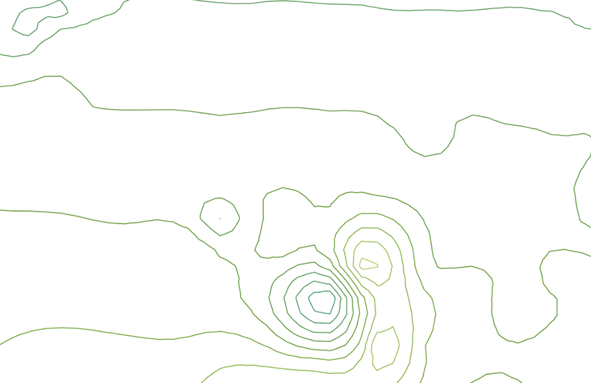
Inclination Map of Switzerland 1:500000
Geomagnetic maps are the result of measurements of total intensity, declination and inclination. The inclination is the angle formed by the orientation of the magnetic field relative to the horizon. Because the Earth's magnetic field changes over time, the data in this map always relate to a specific time period. The values can be adapted using correction formulae which have experimentally determined coefficients. Paper map: G. Fischer & P.-A. Schnegg, 1979 (explanatory text on the back of the map). Vector map: 2001.
Simple
- Alternate title
-
Inclination 500
- Date (Publication)
- 1979-01-01T00:00:00
- Identifier
- ch.swisstopo.geologie-geophysik-inklination
- Purpose
-
Übersicht über die Magnetfeldrichtung in der Schweiz
- Status
- Completed
Owner
- Spatial representation type
- paperMap
Spatial resolution
Equivalent scale
- Denominator
- 500000
- Topic category
-
- F Geoscientific information
Extent
Extent
- Description
-
National Map 1:500'000
- Geographic identifier
- NM500
))

- Maintenance and update frequency
- Continual
- Duration of Conservation
- 275
- Appraisal of Archival Value
- A
- Reason for Archiving Value
- Evidence of business practice
- geocat.ch
-
-
opendata.swiss
-
Conservation and archiving planning AAP - Confederation
-
geophysical map
-
e-geo.ch
-
official geodata
-
- GEMET
-
-
magnetism
-
geophysics
-
- geocat.ch
-
-
FSDI Federal Spatial Data Infrastructure
-
Associated resource
- Title
-
Geophysical maps
- Association Type
- Reference to a master resource of which this one is a part
- Language
- Deutsch
- Character encoding
- UTF8
- Language
- Français
- Character encoding
- UTF8
- Language
- Italiano
- Character encoding
- UTF8
- Language
- English
- Character encoding
- UTF8
- Subtopic Category
- F1 Geology
- Basic Geodata
- true
- Basic Geodata ID
-
47.2
- Basic Geodata Legal Level
- Federal
- Distribution format
-
-
ESRI Shapefile (SHP)
-
Digital transfer options
- OnLine resource
-
Vorschau map.geo.admin.ch
Preview map.geo.admin.ch
Digital transfer options
- OnLine resource
-
ch.swisstopo.geologie-geophysik-inklination
WMS-FSDI service, layer "Inclination 500"
Digital transfer options
- OnLine resource
-
ch.swisstopo.geologie-geophysik-inklination
WMTS-FSDI service, layer "Inclination 500"
Digital transfer options
Digital transfer options
Digital transfer options
Digital transfer options
- OnLine resource
-
RESTful API von geo.admin.ch
RESTful API from geo.admin.ch
- Statement
-
Diese Karte stellt vor dem Hintergrund der Landeskarte 1:500'000 und der Tektonischen Karte 1:500'000 die Inklination des Erdmagnetfeldes dar.
- Hierarchy level
- Dataset
- Reference system identifier
- Referenzsystem entsprechend der zugrundeliegenden topographischen Karte (CH1903)
Metadata
- Metadata identifier
- 639c0536-bfea-44d3-b088-ed7b6b43cde9
- Language
- Deutsch
- Character encoding
- UTF8
- Language
- Français
- Character encoding
- UTF8
- Language
- Italiano
- Character encoding
- UTF8
- Language
- English
- Character encoding
- UTF8
- Language
- Rumantsch
- Character encoding
- UTF8
Owner
Type of resource
- Resource scope
- Dataset
- Metadata linkage
-
https://www.geocat.ch/geonetwork/srv/api/records/639c0536-bfea-44d3-b088-ed7b6b43cde9
- Date info (Creation)
- 2010-04-16T15:37:03Z
- Date info (Revision)
- 2026-04-13T09:24:14.449393Z
Metadata standard
- Title
-
GM03 2+