geocat.ch
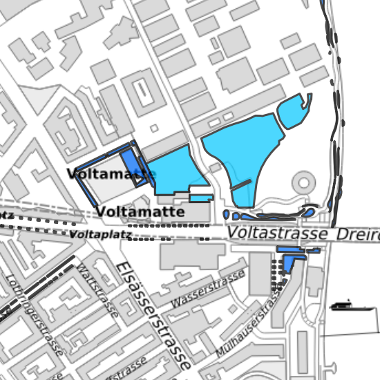
Naturschutz Ersatzflächen
Die Karte zeigt die Fachdaten zu den im Zuge von Bau- und Planungsvorhaben verfügten Ersatzflächen. Nach NHG Art. 18 werden Ersatzmassnahmen verlangt, wenn schutzwürdige Biotope zerstört oder beeinträchtigt werden.
Simple
- Date (Creation)
- 2019-03-05
- Status
- Completed
Owner
- Hours of service
-
Mo - Fr 8.00 - 12.30 / 13.30 - 16.00 Uhr
- Spatial representation type
- Vector
- Topic category
-
- G Biota
Extent
Extent
- Description
-
Canton of Basel-Stadt (BS)
))

- Maintenance and update frequency
- As needed
- GEMET
-
-
biotope
-
- geocat.ch
-
-
planning project
-
Resource constraints
- Other constraints
-
Die Geodaten sind beschränkt öffentlich zugänglich. (Zugangsberechtigungsstufe [B2] = Dienststelle)
- Other constraints
-
Es gelten die Nutzungsbedingungen für Geodaten des Kantons Basel-Stadt. ( http://www.geo.bs.ch/agb)
- Language
- Deutsch
- Character encoding
- UTF8
- Basic Geodata
- true
- Basic Geodata ID
-
113-BS
- Basic Geodata Legal Level
- Cantonal
- Distribution format
-
-
INTERLIS 1 (ITF)
-
Digital transfer options
- OnLine resource
-
MapBS
Öffentliches Auskunftssystem des Kantons Basel-Stadt
Digital transfer options
- OnLine resource
-
WMS BS
Die derzeit im WMS BS verfügbaren Datenebenen entsprechen, bis auf wenige Ausnahmen, den Geodaten, welche auch in MapBS dargestellt sind. Der WMS BS ist kostenlos nutzbar und bietet Zugriff auf öffentliche sowie beschränkt öffentliche Geodaten, wobei gegebenenfalls Benutzername und Passwort benötigt werden (Zugangsdaten von MapBS).
- Reference system identifier
- CH1903+ / LV95/EPSG: 2056
Metadata
- Metadata identifier
- 63362b78-10f6-44f3-b756-f193bef3b98d
- Language
- Deutsch
- Character encoding
- UTF8
- Language
- Français
- Character encoding
- UTF8
- Language
- Italiano
- Character encoding
- UTF8
- Language
- English
- Character encoding
- UTF8
Custodian
Type of resource
- Resource scope
- Dataset
- Metadata linkage
-
https://www.geocat.ch/geonetwork/srv/api/records/63362b78-10f6-44f3-b756-f193bef3b98d
- Date info (Creation)
- 2019-02-13T13:20:55Z
- Date info (Revision)
- 2026-04-13T09:28:46.2748Z
Metadata standard
- Title
-
eCH-0271