geocat.ch
INSPIRE Basiskarten
INSPIRE Basisdaten / Hintergrundkarten (Orthophoto, Pixelkarten)
Simple
- Alternate title
-
INSIRE Basiskarten
- Date (Creation)
- 2013-11-13
- Identifier
- https://metadata.geo.llv.li/5f8f42ad-9bcb-4269-ad58-0c9ab4685447
- Purpose
-
Umsetzung INSPIRE
- Status
- Completed
Point of contact
- Hours of service
-
8:00-11:30 und 13:30-17:00
- Spatial representation type
- Vector
Spatial resolution
Equivalent scale
- Denominator
- 500
- Topic category
-
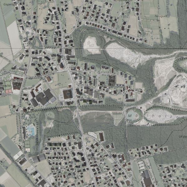
- A Imagery base maps earth cover
Extent
Extent
- Description
-
Liechtenstein
))

- Maintenance and update frequency
- As needed
- geocat.ch
-
-
base map
-
official geodata
-
INSPIRE
-
- GEMET - INSPIRE themes, version 1.0
-
-
Orthoimagery
-
- Räumlicher Anwendungsbereich
-
-
National
-
Resource constraints
- Access constraints
- Other restrictions
- Other constraints
- no limitations to public access
- Country
- LI
- Legislation Type
- Ordinance
- Legislation Level
- national
- Title
-
Verordnung vom 30. August 2011 über die Gebühren für die Nutzung der Geodateninfrastruktur Liechtenstein
- Date (Creation)
- 2011-08-30
Resource constraints
- Use limitation
-
Zugangs- und Nutzungsbedingungen
- Use constraints
- Other restrictions
- Other constraints
-
gebührenpflichtig
- Language
- Deutsch
- Character encoding
- UTF8
- Subtopic Category
- A1 Base Maps, Landscape Models
- Distribution format
-
-
GeoTIFF (GEOTIFF)
-
Point of contact
- Hours of service
-
8:00-11:30 und 13:30-17:00
Digital transfer options
- OnLine resource
-
Geodatenportal
Geodatenportal der Landesverwaltung
Digital transfer options
- OnLine resource
-
Datenausgabe
Datenausgabestelle
Digital transfer options
- OnLine resource
-
BASEMAPS
INSPIRE View Service
Digital transfer options
- OnLine resource
-
INSPIRE Download Service (ATOM)
GML Download
- Hierarchy level
- Dataset
- Other
-
Alle Ebenen
Report
Result
- Title
-
COMMISSION REGULATION (EU) No 1089/2010 of 23 November 2010 implementing Directive 2007/2/EC of the European Parliament and of the Council as regards interoperability of spatial data sets and services
- Date (Publication)
- 2010-12-08
- Explanation
-
Inspire Konformitaet
- Pass
- true
- Statement
-
GDI-Liechtenstein, Befliegung
- Hierarchy level
- Dataset
- Other
-
Alle Ebenen
- Topology level
- Full planar graph
- Geometric object type
- Point
- Geometric object count
- 1000000
- Reference system identifier
- http://www.opengis.net/def/crs/EPSG/0/21782
- Reference system identifier
- http://www.opengis.net/def/crs/EPSG/0/4258
- Maintenance and update frequency
- As needed
Metadata
- Metadata identifier
- 5f8f42ad-9bcb-4269-ad58-0c9ab4685447
- Language
- Deutsch
- Character encoding
- UTF8
- Language
- Français
- Character encoding
- UTF8
- Language
- Italiano
- Character encoding
- UTF8
- Language
- English
- Character encoding
- UTF8
Point of contact
- Hours of service
-
8:00-11:30 und 13:30-17:00
Type of resource
- Resource scope
- Dataset
- Metadata linkage
-
https://www.geocat.ch/geonetwork/srv/api/records/5f8f42ad-9bcb-4269-ad58-0c9ab4685447
- Date info (Creation)
- 2015-10-05T10:58:47Z
- Date info (Revision)
- 2026-04-13T09:34:35.211858Z
Metadata standard
- Title
-
eCH-0271