 geocat.ch
Digitales Oberflächenmodell (DOM) 2024: traditionelles schattiertes Relief, 0.25m-Raster
Schräglichtschummerungs-Bild des Oberflächenmodells 2024 (0.25x0.25m Raster, Beleuchtungswinkel 60°), abgeleitet aus dem digitalen Oberflächenmodell.
Simple
- Alternate title
-
DOM24REL_DS
- Date (Creation)
- 2025-02-13
- Presentation form
- Digital map
- Purpose
-
Durch die Schummerung entsteht ein räumlicher Eindruck der relativen Höhenunterschiede. Der Verwendungszweck liegt hauptsächlich in der Visualisierung in Karten.
- Status
- Under development
Publisher
Owner
- Spatial representation type
- Grid
- Topic category
-
- C Elevation
Extent
Extent
- Description
-
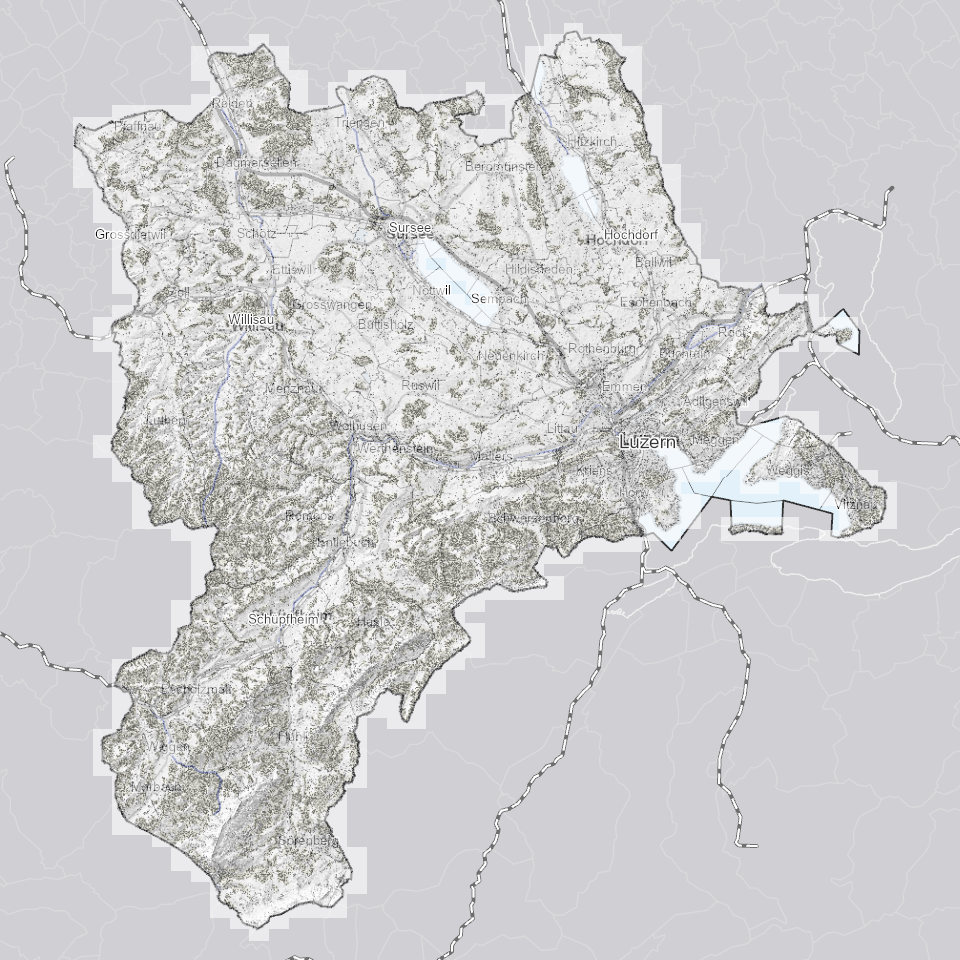
Kanton Luzern
))
- Maintenance and update frequency
- Not planned
- geocat.ch
-
-
opendata.swiss
-
Amtliche Vermessung/AV
-
Oberflächenmodell
-
Referenzsystem
-
Topographie
-
Resource constraints
- Access constraints
- none
- Use constraints
- Copyright
Resource constraints
- Use limitation
-
öffentlich zugängliche Geobasisdaten
Resource constraints
- Access constraints
- none
- Use constraints
- none
Resource constraints
- Use limitation
-
Freie Nutzung. Quellenangabe ist Pflicht
- Distribution format
-
-
Tagged Image File Format (.tif)
-
Point of contact
Digital transfer options
- OnLine resource
-
Datenshop
Produktansicht Geodatenshop
- Statement
-
unbekannt
- Reference system identifier
- EPSG:2056
- Maintenance and update frequency
- Not planned
Metadata
- Metadata identifier
- 5d13f1d1-ad30-4fd8-93bf-ce2b590e5341
- Language
- Deutsch
- Character encoding
- UTF-8
Point of contact
Type of resource
- Resource scope
- Dataset
- Metadata linkage
-
https://www.geocat.ch/geonetwork/srv/api/records/5d13f1d1-ad30-4fd8-93bf-ce2b590e5341
- Date info (Creation)
- 2024-07-18
- Date info (Revision)
- 2026-06-19T03:20:34.242936Z
Metadata standard
- Title
-
ISO19115.3-2018.che
)))