geocat.ch
Gefahrenhinweiskarte Wasser
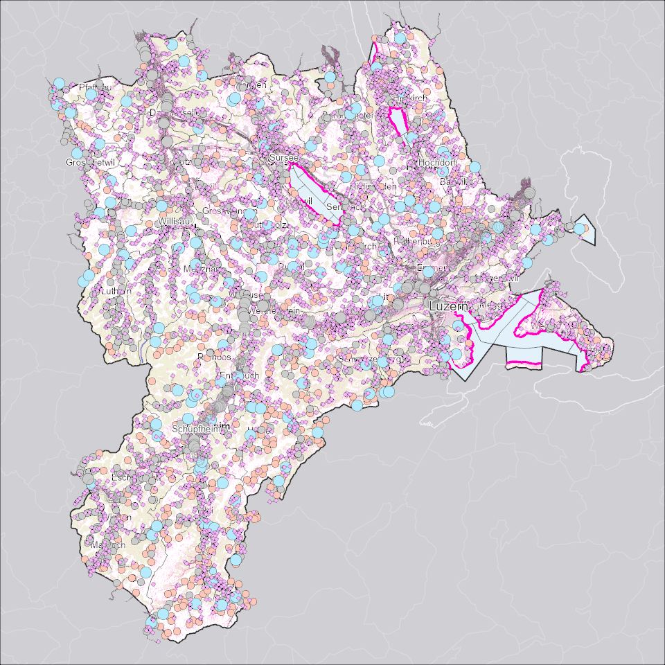
Die Gefahrenhinweiskarte (GHK) Wasser zeigt zusätzlich zu den Gefahrenkarten flächendeckende Gefahrenhinweissimulationen für Fliessgewässer, Seen und den Oberflächenabfluss.
Simple
- Alternate title
-
GHKWASSR_COL
- Date (Creation)
- 2023-03-24
- Presentation form
- Digital map
- Purpose
-
Im Vergleich zur Gefahrenkarte sind diese Daten modellierte nicht im Gelände plausibilisierte Ergebnisse.Pro Grundszenario (30, 100, 300-jährliches Ereignis) sind Wassertiefen und Intensitäten für Fliessgewässer und Seen sowie den Oberflächenabfluss modelliert.
- Status
- Completed
Publisher
Owner
- Spatial representation type
- undefined
- Topic category
-
- F Geoscientific information
Extent
Extent
- Description
-
Kanton Luzern
))
- Maintenance and update frequency
- As needed
- Theme
-
-
Fliessgewässer
-
See
-
Naturgefahren
-
Oberflächengewässer
-
Risiken
-
opendata.swiss
-
Resource constraints
- Access constraints
- none
- Use constraints
- Copyright
Resource constraints
- Use limitation
-
öffentlich zugängliche Geobasisdaten
Resource constraints
- Use limitation
-
Freie Nutzung. Quellenangabe ist Pflicht.
Associated resource
- Association Type
- Reference to a master resource of which this one is a part
- Metadata Reference
Associated resource
- Association Type
- Reference to a master resource of which this one is a part
- Metadata Reference
Associated resource
- Association Type
- Reference to a master resource of which this one is a part
- Metadata Reference
Associated resource
- Association Type
- Reference to a master resource of which this one is a part
- Metadata Reference
Associated resource
- Association Type
- Reference to a master resource of which this one is a part
- Metadata Reference
Associated resource
- Association Type
- Reference to a master resource of which this one is a part
- Metadata Reference
- Distribution format
-
-
ESRI Geodatabase (.gdb)
-
ESRI Shapefile (.shp)
-
OGC GeoPackage (.gpkg)
-
Point of contact
Digital transfer options
- OnLine resource
-
Datenshop
Produktansicht Geodatenshop
- Statement
-
unbekannt
- Reference system identifier
- EPSG:2056
- Maintenance and update frequency
- As needed
Metadata
- Metadata identifier
- 5c3f7469-e67c-4b78-9642-3f83e4da2ace
- Language
- Deutsch
- Character encoding
- UTF-8
Point of contact
Type of resource
- Resource scope
- Dataset
- Metadata linkage
-
https://www.geocat.ch/geonetwork/srv/api/records/5c3f7469-e67c-4b78-9642-3f83e4da2ace
- Date info (Creation)
- 2026-07-30
- Date info (Revision)
- 2026-09-19T03:28:36.470165Z
Metadata standard
- Title
-
ISO19115.3-2018.che
)))