geocat.ch
Kataster der belasteten Standorte
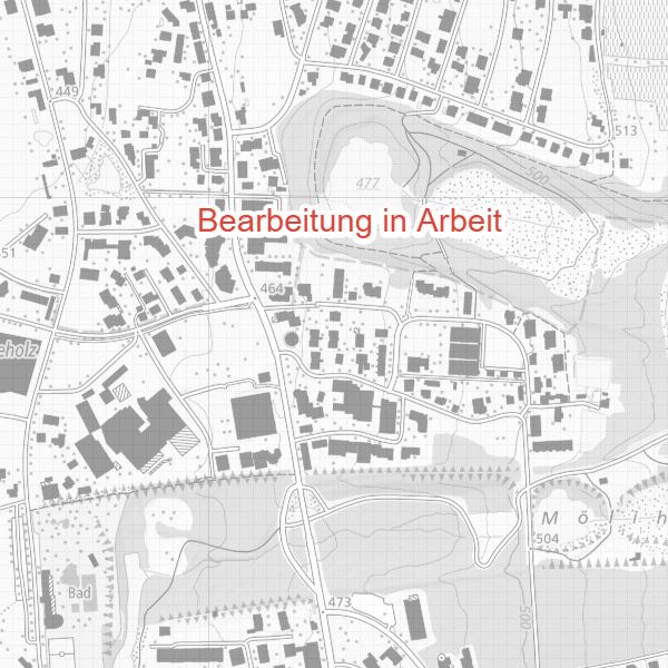
Der Kataster der belasteten Standorte stellt die mit Schadstoffen belasteten Flächen in einer Karte dar. Dies sind ehemalige Ablagerungsstandorte (Deponien), Betriebsstandorte (Fabriken, Industrieareale), Unfallstandorte und Schiessanlagen. Der Kataster der belasteten Standorte ist dynamisch und wird laufend angepasst! In der Karte sind nur jene Standorte aufgeführt, welche bereits definitiv in den Kataster der belasteten Standorte eingetragen wurden. Die Angabe, dass ein Grundstück nicht im Kataster der belasteten Standorte eingetragen ist, bietet keine Gewähr dafür, dass auch effektiv keine Belastung vorliegt!
Simple
- Alternate title
-
KBS
- Date (Revision)
- 2020-07-07T09:20:00
- Identifier
- https://metadata.geo.llv.li/545c5814-b3db-414d-b916-7cc87b38f330
- Purpose
-
Kartierung
- Status
- Under development
Point of contact
- Hours of service
-
8:00-11:30 und 13:30-17:00
- Spatial representation type
- Vector
Spatial resolution
Equivalent scale
- Denominator
- 500
- Topic category
-
- F Geoscientific information
- L Environment
Extent
Extent
- Description
-
Liechtenstein
))

- Maintenance and update frequency
- Continual
Resource format
- Title
-
INTERLIS
- Date
- Edition
-
-
- GEMET
-
-
vector
-
old hazardous site
-
- geocat.ch
-
-
INSPIRE
-
polluted site
-
- GEMET - INSPIRE themes, version 1.0
-
-
Human health and safety
-
- Räumlicher Anwendungsbereich
-
-
National
-
Resource constraints
- Access constraints
- Other restrictions
- Other constraints
- No limitations to public access
- Country
- LI
- Legislation Type
- Ordinance
- Legislation Level
- national
- Title
-
Verordnung vom 16. Dezember 2008 über die Sanierung von belasteten Standorten
- Date (Revision)
- 2008-12-16
Resource constraints
- Use limitation
-
Zugangs- und Nutzungsbedingungen
- Use constraints
- Other restrictions
- Other constraints
-
gebührenpflichtig
- Language
- Deutsch
- Character encoding
- UTF8
- Subtopic Category
- F2 Soils
- Subtopic Category
- L2 Nature and Landscape Protection
- Distribution format
-
-
INTERLIS 1 (ITF)
-
Point of contact
- Hours of service
-
8:00-11:30 und 13:30-17:00
Digital transfer options
- OnLine resource
-
Homepage ABI, Datenausgabestelle
Datenausgabestelle der Liechteinsteinischen Landesverwaltung
- Hierarchy level
- Dataset
- Other
-
Alle Ebenen
Report
Result
- Title
-
COMMISSION REGULATION (EU) No 1089/2010 of 23 November 2010 implementing Directive 2007/2/EC of the European Parliament and of the Council as regards interoperability of spatial data sets and services
- Date (Publication)
- 2010-12-08
- Explanation
-
See the referenced specification
- Pass
- false
- Statement
-
Bearbeitung AU
- Hierarchy level
- Dataset
- Other
-
Alle Ebenen
- Topology level
- Full planar graph
- Geometric object type
- Surface
- Geometric object count
- 200
- Reference system identifier
- http://www.opengis.net/def/crs/EPSG/0/2056
- Reference system identifier
- http://www.opengis.net/def/crs/EPSG/0/4258
- Maintenance and update frequency
- As needed
Metadata
- Metadata identifier
- 545c5814-b3db-414d-b916-7cc87b38f330
- Language
- Deutsch
- Character encoding
- UTF8
- Language
- Français
- Character encoding
- UTF8
- Language
- Italiano
- Character encoding
- UTF8
- Language
- English
- Character encoding
- UTF8
Point of contact
- Hours of service
-
8:00-11:30 und 13:30-17:00
Type of resource
- Resource scope
- Dataset
- Metadata linkage
-
https://www.geocat.ch/geonetwork/srv/api/records/545c5814-b3db-414d-b916-7cc87b38f330
- Date info (Creation)
- 2022-02-18T13:12:50Z
- Date info (Revision)
- 2026-04-13T09:17:04.173635Z
Metadata standard
- Title
-
eCH-0271