geocat.ch
Amtliche Vermessung Nachführungshandrisse
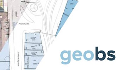
Die Nachführungshandrisse beinhalten die Originalmessungen zu Objekten der amtlichen Vermessung und Hinweise auf weitere Aufnahmedokumente (Mutationshandrisse). Sie werden nicht mehr nachgeführt. Der Datensatz beinhaltet die Einteilung der Nachführungshandrisse.
Simple
- Date (Publication)
- 2012-03-27
Distributor
- Topic category
-
- D Boundaries
Extent
Extent
- Description
-
Kanton Basel-Stadt
))

- Maintenance and update frequency
- Not planned
- Keywords
-
-
Aufnahmedokumente
-
- Keywords
-
-
AVNH
-
- Keywords
-
-
Einteilung
-
- Keywords
-
-
Handrisse
-
- Keywords
-
-
Mutationshandrisse
-
- Keywords
-
-
Originalmessungen
-
Resource constraints
- Use constraints
- Other restrictions
- Other constraints
-
Die Geodaten sind beschränkt öffentlich zugänglich. Es gelten die Nutzungsbedingungen für Geodaten des Kantons Basel-Stadt. ( http://www.geo.bs.ch/agb)
- Language
- Deutsch
- Character encoding
- UTF8
- Basic Geodata
- true
- Basic Geodata ID
-
51>A
- Basic Geodata Access Level
- B
Distributor
Digital transfer options
- OnLine resource
-
Geoportal Kanton Basel-Stadt
Geoportal Kanton Basel-Stadt
- Reference system identifier
- LV95 EPSG:2056
Metadata
- Metadata identifier
- 53910e37-b881-4fb2-ba7e-a7ed60a96db3
- Language
- Deutsch
- Character encoding
- UTF8
Distributor
Type of resource
- Resource scope
- Dataset
- Metadata linkage
-
https://www.geocat.ch/geonetwork/srv/api/records/53910e37-b881-4fb2-ba7e-a7ed60a96db3
- Date info (Creation)
- 2026-07-21T12:41:38.966915Z
- Date info (Revision)
- 2026-08-20T13:56:06.766355Z
Metadata standard
- Title
-
eCH-0271