geocat.ch
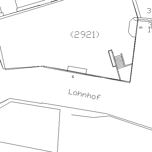
Amtliche Vermessung Geobau3
Daten der Amtlichen Vermessung gemäss Geobau3.
Simple
- Date (Creation)
- 2023-11-07
- Status
- Completed
Owner
- Spatial representation type
- Vector
- Topic category
-
- A Imagery base maps earth cover
Extent
Extent
- Description
-
Canton of Basel-Stadt (BS)
))

- Maintenance and update frequency
- Daily
- geocat.ch
-
-
cadastral surveying
-
basis plan
-
Resource constraints
- Other constraints
-
Die Geodaten sind öffentlich zugänglich. (Zugangsberechtigungsstufe [A] = öffentlich)
- Other constraints
-
Es gelten die Nutzungsbedingungen für Geodaten des Kantons Basel-Stadt. ( http://www.geo.bs.ch/agb)
- Language
- Deutsch
- Character encoding
- UTF8
- Subtopic Category
- A1 Base Maps, Landscape Models
- Distribution format
-
-
AutoCAD DWG (DWG)
-
AutoCAD DXF (DXF)
-
Distributor
- Hours of service
-
Mo - Do: 8:00 bis 12:00, 13:30 bis 16:30, Fr: 8:00 bis 12:00, 13:30 bis 16:00
Digital transfer options
- OnLine resource
-
Geodaten-Shop
Öffentlich zugänglicher Geodaten-Downloaddienst des Kantons Basel-Stadt
- Reference system identifier
- CH1903+ / LV95/EPSG: 2056
Metadata
- Metadata identifier
- 4f064942-51ae-45f4-a4ba-6a7b4f02d8ef
- Language
- Deutsch
- Character encoding
- UTF8
- Language
- Français
- Character encoding
- UTF8
- Language
- Italiano
- Character encoding
- UTF8
- Language
- English
- Character encoding
- UTF8
Custodian
Type of resource
- Resource scope
- Dataset
- Metadata linkage
-
https://www.geocat.ch/geonetwork/srv/api/records/4f064942-51ae-45f4-a4ba-6a7b4f02d8ef
- Date info (Creation)
- 2023-12-13T08:16:59.956Z
- Date info (Revision)
- 2026-04-13T09:31:20.206977Z
Metadata standard
- Title
-
eCH-0271