geocat.ch
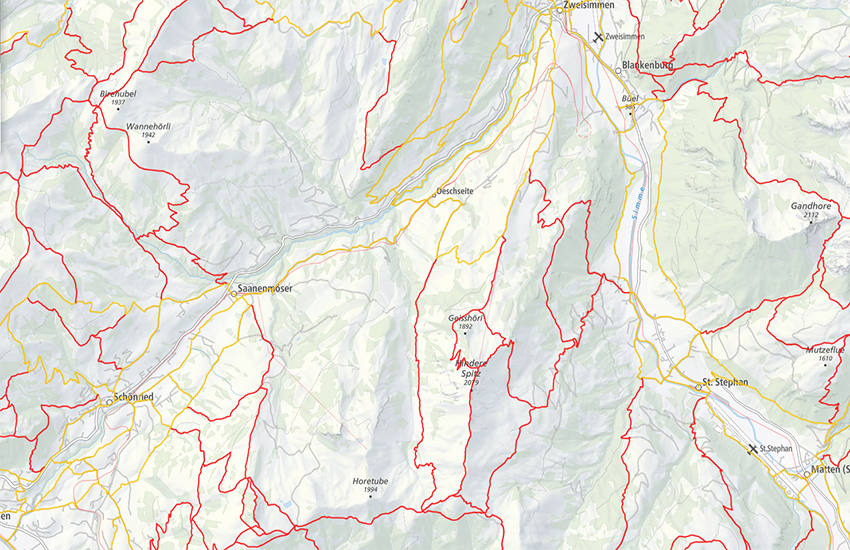
swissTLM3D hiking trails
swissTLM3D hiking trails contains the hiking trails of Switzerland and the Principality of Liechtenstein. This dataset is published in collaboration with the Federal roads office FEDRO, SwitzerlandMobility, Suisse Rando and the cantons. The data is fully updated once a year with the swissTLM3D dataset. If necessary, ad hoc corrections and improvements are published during the year.
Simple
- Alternate title
-
Hiking trails
- Date (Creation)
- 2012-04-01
- Date (Revision)
- 2026-02-24
- Edition
-
Version 2.4
- Identifier
- ch.swisstopo.swisstlm3d-wanderwege
- Status
- On going
Point of contact
- Spatial representation type
- Vector
Spatial resolution
Equivalent scale
- Denominator
- 5000
Spatial resolution
Equivalent scale
- Denominator
- 25000
- Topic category
-
- P Transportation
Extent
Extent
- Description
-
Switzerland
))

Extent
Extent
- Description
-
Liechtenstein
))

- Maintenance and update frequency
- As needed
- GEMET - INSPIRE themes, version 1.0
-
-
Geographical names
-
Transport networks
-
- GEMET
-
-
hiking trail
-
vector
-
geographic information system
-
- geocat.ch
-
-
GIS (Geographic Information System)
-
opendata.swiss
-
landscape model
-
- geocat.ch
-
-
FSDI Federal Spatial Data Infrastructure
-
Resource constraints
- Use constraints
- License
Resource constraints
- Other constraints
- NonCommercialAllowed-CommercialAllowed-ReferenceRequired
Associated resource
- Association Type
- Reference to a master resource of which this one is a part
- Metadata Reference
Associated resource
- Title
-
topographical landscape model (national survey)
- Association Type
- Reference to a master resource of which this one is a part
- Language
- Deutsch
- Character encoding
- UTF8
- Basic Geodata
- true
- Basic Geodata ID
-
38.1
- Basic Geodata Legal Level
- Federal
- Basic Geodata Type
- Reference Geodata
- Distribution format
-
-
ESRI File Geodatabase FileGDB (GDB)
-
OGC Geopackage (GPKG)
-
Digital transfer options
- OnLine resource
-
Vorschau map.geo.admin.ch
Preview map.geo.admin.ch
Digital transfer options
- OnLine resource
-
ch.swisstopo.swisstlm3d-wanderwege
WMS-FSDI service, layer "Hiking trails"
Digital transfer options
- OnLine resource
-
ch.swisstopo.swisstlm3d-wanderwege
WMTS-FSDI service, layer "Hiking trails"
Digital transfer options
Digital transfer options
- OnLine resource
-
swisstlm3d-wanderwege
Geopackage (ZIP)
Digital transfer options
Digital transfer options
- OnLine resource
-
RESTful API von geo.admin.ch
RESTful API from geo.admin.ch
- Statement
-
Geometric accuracy: swissTLM3D (0.2 -1.5 m in all three dimensions for well-defined landscape features such as roads and buildings, 1 - 3 m in all three dimensions for landscape features which are not clearly defined such as forests)
- Hierarchy level
- Dataset
- Topology level
- Topology 1D
- Geometric object type
- Curve
- Geometric object count
- 351239
- Reference system identifier
- EPSG:2056
- Reference system identifier
- EPSG:5728
Metadata
- Metadata identifier
- 4a064664-a346-4c1a-b424-4e8a0f0b56cb
- Language
- Deutsch
- Character encoding
- UTF8
- Language
- Français
- Character encoding
- UTF8
- Language
- Italiano
- Character encoding
- UTF8
- Language
- English
- Character encoding
- UTF8
- Language
- Rumantsch
- Character encoding
- UTF8
Point of contact
Type of resource
- Resource scope
- Dataset
- Metadata linkage
-
https://www.geocat.ch/geonetwork/srv/api/records/4a064664-a346-4c1a-b424-4e8a0f0b56cb
- Date info (Creation)
- 2012-02-22T09:59:06Z
- Date info (Revision)
- 2026-04-13T09:17:36.477927Z
Metadata standard
- Title
-
GM03 2+