geocat.ch
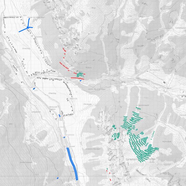
Kataster der Schutzbauten Naturgefahren Liechtenstein
Schutzbautenkataster (im Datenmodell als Schutzbauteninventar bezeichnet) für ein modernes Schutzbautenmanagement.
Simple
- Alternate title
-
Schutzbauteninventar Naturgefahren Liechtenstein
- Date (Creation)
- 2013-11-13
- Identifier
- https://metadata.geo.llv.li/2db30269-65e0-4274-baca-45e65dca686a
- Purpose
-
Die Schutzbauteninfrastruktur gegen Naturgefahren ist essenziell für die Besiedlung und Bewirtschaftung des Raumes.
- Status
- Under development
Owner
- Hours of service
-
8:00-11:30 und 13:30-17:00
Distributor
- Hours of service
-
8:00-11:30 und 13:30-17:00
- Spatial representation type
- Vector
Spatial resolution
Equivalent scale
- Denominator
- 2000
- Topic category
-
- F Geoscientific information
Extent
Extent
- Description
-
Liechtenstein
))

- Maintenance and update frequency
- Annually
- GEMET
-
-
built structure
-
disasters, accidents, risk
-
natural dynamics
-
natural hazard
-
- geocat.ch
-
-
natural event
-
protection structure
-
- GEMET - INSPIRE themes, version 1.0
-
-
Natural risk zones
-
Resource constraints
- Access constraints
- Other restrictions
- Other constraints
- no limitations to public access
- Country
- LI
- Legislation Type
- Ordinance
- Legislation Level
- national
- Title
-
Verordnung vom 30. August 2011 über die Gebühren für die Nutzung der Geodateninfrastruktur Liechtenstein
- Date (Creation)
- 2011-08-30
Resource constraints
- Use limitation
-
Zugangs- und Nutzungsbedingungen
- Use constraints
- Other restrictions
- Other constraints
-
gebührenpflichtig
- Language
- Deutsch
- Character encoding
- UTF8
- Subtopic Category
- F3 Natural Hazards
- Distribution format
-
-
AutoCAD DXF (DXF)
-
ESRI Shapefile (SHP)
-
INTERLIS 2 (XTF)
-
Point of contact
- Hours of service
-
8:00-11:30 und 13:30-17:00
- Fees
-
Bereitstellungsgebühr CHF 60.50 pro 30 Min. sowie Nutzungsgebühr CHF 5.- pro Ebene u. angef. km2
Digital transfer options
- OnLine resource
-
Homepage ATG, Datenausgabestelle
Datenausgabestelle der Liechteinsteinischen Landesverwaltung
- Topology level
- Topology 1D
- Geometric object type
- Curve
- Geometric object type
- Point
- Geometric object type
- Surface
- Reference system identifier
- http://www.opengis.net/def/crs/EPSG/0/21782
- Reference system identifier
- http://www.opengis.net/def/crs/EPSG/0/4936
- Maintenance and update frequency
- As needed
Metadata
- Metadata identifier
- 2db30269-65e0-4274-baca-45e65dca686a
- Language
- Deutsch
- Character encoding
- UTF8
- Language
- Français
- Character encoding
- UTF8
- Language
- Italiano
- Character encoding
- UTF8
- Language
- English
- Character encoding
- UTF8
Point of contact
- Hours of service
-
8:00-11:30 und 13:30-17:00
Distributor
- Hours of service
-
8:00-11:30 und 13:30-17:00
Type of resource
- Resource scope
- Dataset
- Metadata linkage
-
https://www.geocat.ch/geonetwork/srv/api/records/2db30269-65e0-4274-baca-45e65dca686a
- Date info (Creation)
- 2021-02-23T07:39:58Z
- Date info (Revision)
- 2026-04-13T09:16:14.043706Z
Metadata standard
- Title
-
eCH-0271