geocat.ch
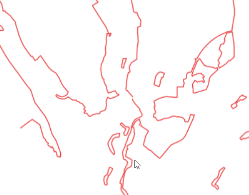
Statische Waldgrenzen Kanton Schaffhausen
Statische Waldgrenzen werden beim Erlass und bei der Revision von Nutzungsplänen festgelegt. Die Waldfeststellung erfolgt in Gebieten, in denen Bauzonen an den Wald grenzen oder in Zukunft grenzen sollen sowie in Gebieten ausserhalb der Bauzonen, in denen der Kanton eine Zunahme des Waldes verhindern will. Die Daten basieren auf dem MGDM Statische Waldgrenzen.
Simple
- Date (Revision)
- 2025-07-02
- Date (Creation)
- 2019-01-09
- Status
- On going
Point of contact
Owner
- Topic category
-
- G Biota
Extent
Extent
- Description
-
Kanton Schaffhausen
))

- Maintenance and update frequency
- Continual
- Duration of Conservation
- 0
- Comment on Duration of Conservation
-
Aufbewahrungsfrist unbekannt.
- Appraisal of Archival Value
- A
- Reason for Archiving Value
- Evidence of business practice
- Keywords
-
-
Statische Waldgrenzen
-
opendata.swiss
-
Resource constraints
- Other constraints
- Freie Nutzung
Associated resource
- Association Type
- Reference to a master resource of which this one is a part
- Language
- Deutsch
- Character encoding
- UTF8
- Basic Geodata
- false
- Basic Geodata Type
- openGovernmentData
- Distribution format
-
-
ESRI Shapefile
-
WMS Dienst
-
Geopackage
-
Interlis 2
-
WFS Dienst
-
Distributor
Digital transfer options
- OnLine resource
-
CH Datenmodell, geodienste.ch (INTERLIS, GeoPackage, Shapefile)
CH Datenmodell, geodienste.ch (INTERLIS, GeoPackage, Shapefile)
Digital transfer options
- OnLine resource
-
CH Datenmodell, geodienste.ch
CH Datenmodell, geodienste.ch
Digital transfer options
- OnLine resource
-
geodienste.ch
geodienste.ch
Digital transfer options
- OnLine resource
-
CH Datenmodell, geodienste.ch
CH Datenmodell, geodienste.ch
Digital transfer options
- OnLine resource
-
Kanton Schaffhausen
Kanton Schaffhausen
- Reference system identifier
- 2056
- Maintenance and update frequency
- Continual
Metadata
- Metadata identifier
- 282f718e-1c07-4545-92d4-f78a1b389129
- Language
- Deutsch
- Character encoding
- UTF8
Point of contact
Type of resource
- Resource scope
- Dataset
- Metadata linkage
-
https://www.geocat.ch/geonetwork/srv/api/records/282f718e-1c07-4545-92d4-f78a1b389129
- Date info (Creation)
- 2021-04-21T08:51:12Z
- Date info (Revision)
- 2026-04-13T09:29:39.314875Z
Metadata standard
- Title
-
GM03 2+