geocat.ch
Reserved zones for airport installations V2.0 PLR
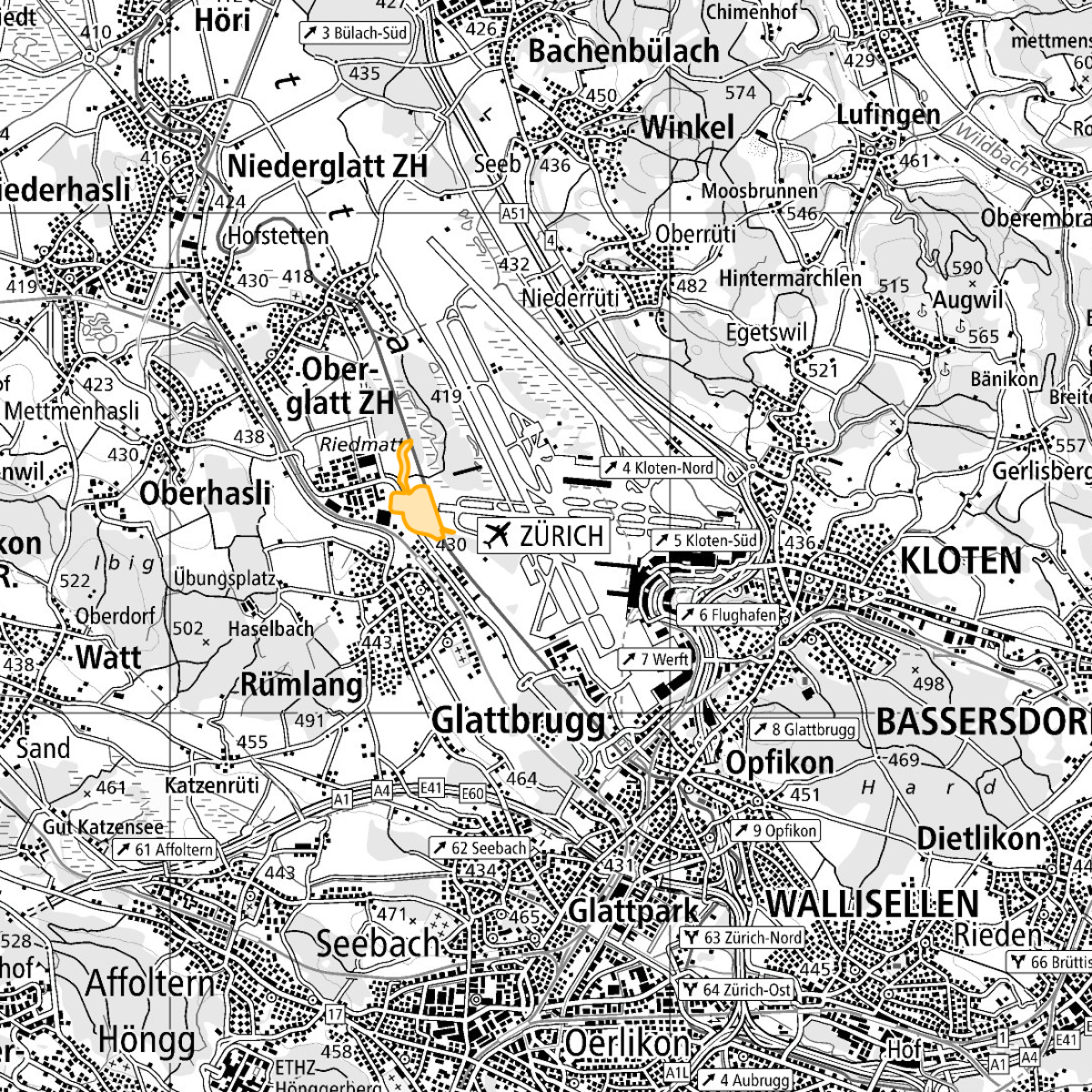
Designated area in which the land must be kept free for future airport installations. Plot-specific representation with a line on a large-scale plan. Constructional changes that contradict this purpose are not permitted. Limited effect of five years maximum, with a potential extension of up to three years. Legal basis (CAA Art. 37n Para. 1): “By virtue of its office or at the request of the airport owner, the canton or the local authority, the Federal Office can specify project planning zones for designated areas in order to keep land free for future airport installations ...”
Simple
- Alternate title
-
Reserved zones airports V2.0 PLR
- Date (Revision)
- 2024-02-17
- Identifier
- ch.bazl.projektierungszonen-flughafenanlagen_v2_0.oereb
- Purpose
-
ÖREB-Daten gemäss Transferstruktur
Owner
- Spatial representation type
- Vector
Spatial resolution
Equivalent scale
- Denominator
- 1000
Spatial resolution
Equivalent scale
- Denominator
- 100000
- Topic category
-
- E Planning cadastre
Extent
Extent
- Description
-
Switzerland
))

- Maintenance and update frequency
- Unknown
- GEMET
-
-
airport
-
zoning
-
- geocat.ch
-
-
OeREB
-
zoning plan
-
opendata.swiss
-
air navigation
-
- GEMET - INSPIRE themes, version 1.0
-
-
Area management/restriction/regulation zones and reporting units
-
Transport networks
-
- geocat.ch
-
-
FSDI Federal Spatial Data Infrastructure
-
Resource constraints
- Use constraints
- Other restrictions
- Other constraints
- Opendata BY: Open use. Must provide the source.
- Other constraints
- Language
- Deutsch
- Character encoding
- UTF8
- Language
- Français
- Character encoding
- UTF8
- Language
- Italiano
- Character encoding
- UTF8
- Subtopic Category
- E1 Spatial Planning, Spatial Development
- Distribution format
-
-
INTERLIS 2 (XTF)
-
andere Formate auf Anfrage
-
Digital transfer options
Digital transfer options
Digital transfer options
Digital transfer options
- OnLine resource
-
ch.bazl.projektierungszonen-flughafenanlagen_v2_0.oereb
Link to Feature Service
Digital transfer options
- OnLine resource
-
ch.bazl.projektierungszonen-flughafenanlagen_v2_0.oereb
Link to WMS
- Geometric object type
- Surface
- Reference system identifier
- EPSG:2056
Metadata
- Metadata identifier
- 25ad45c3-f751-4d05-b6f6-ece1c2059e8b
- Language
- Deutsch
- Character encoding
- UTF8
- Language
- Français
- Character encoding
- UTF8
- Language
- Italiano
- Character encoding
- UTF8
- Language
- English
- Character encoding
- UTF8
- Language
- Rumantsch
- Character encoding
- UTF8
Point of contact
Type of resource
- Resource scope
- Dataset
- Metadata linkage
-
https://www.geocat.ch/geonetwork/srv/api/records/25ad45c3-f751-4d05-b6f6-ece1c2059e8b
- Date info (Creation)
- 2021-10-19T12:36:34Z
- Date info (Revision)
- 2026-04-13T09:17:20.733577Z
Metadata standard
- Title
-
eCH-0271