 geocat.ch
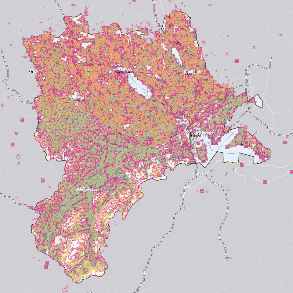
Landwirtschaftliche Bewirtschaftung
Daten zu Landwirtschaftbetrieben und Bewirtschaftungseinheiten, Rebbaukataster (Perimeter Terrassenreben), Landwirtschaftliche Nutzungsflächen (LN), Perimeter LN und Sömmerungsflächen (inkl. Bundesdaten)
Simple
- Alternate title
-
LWBWXXXX_COL
- Date (Creation)
- 2026-01-06
- Presentation form
- Digital map
- Purpose
-
Die landwirtschaftlichen Betriebs- und Flächendaten werden für den Vollzug des Landwirtschaftsgesetzes - insbesondere als Grundlage zur Berechnung der Direktzahlungen - sowie des Bundesstatistikgesetzes räumlich erfasst.Den Geodatenmodellen "Landwirtschaftliche Kulturflächen" liegt der Geobasisdateneintrag 153 nach GeoIV zu Grunde.Unter den Landwirtschaftlichen Kulturflächen werden in Zukunft auch die Biodiversitätsförderflächen Qualitätsstufe I und II und Vernetzung (BFF II) ergänzt.
- Status
- On going
Publisher
Owner
- Spatial representation type
- undefined
- Topic category
-
- S Farming
Extent
Extent
- Description
-
Kanton Luzern
))
- Maintenance and update frequency
- Continual
- geocat.ch
-
-
opendata.swiss
-
Betriebe
-
Biodiversität
-
Bodennutzung
-
Grundbuch
-
Grundeigentum
-
Landwirtschaft
-
Landwirtschaftliche Nutzung
-
Ökologische Vernetzung
-
Topographie
-
Wirtschaftliche Aktivitäten
-
Resource constraints
- Access constraints
- none
- Use constraints
- Copyright
Resource constraints
- Use limitation
-
öffentlich zugängliche Geobasisdaten
Resource constraints
- Access constraints
- none
- Use constraints
- none
Resource constraints
- Use limitation
-
Freie Nutzung. Quellenangabe ist Pflicht
Associated resource
- Association Type
- Reference to a master resource of which this one is a part
Associated resource
- Association Type
- Reference to a master resource of which this one is a part
- Metadata Reference
Associated resource
- Association Type
- Reference to a master resource of which this one is a part
- Metadata Reference
Associated resource
- Association Type
- Reference to a master resource of which this one is a part
- Metadata Reference
Associated resource
- Association Type
- Reference to a master resource of which this one is a part
- Metadata Reference
Associated resource
- Association Type
- Reference to a master resource of which this one is a part
- Metadata Reference
- Distribution format
-
-
ESRI Geodatabase (.gdb)
-
ESRI Shapefile (.shp)
-
OGC GeoPackage (.gpkg)
-
Point of contact
Digital transfer options
- OnLine resource
-
Datenshop
Produktansicht Geodatenshop
- Statement
-
unbekannt
- Reference system identifier
- EPSG:2056
- Maintenance and update frequency
- Annually
Metadata
- Metadata identifier
- 25164c08-5c7f-48cd-a82c-881dacc758f3
- Language
- Deutsch
- Character encoding
- UTF-8
Point of contact
Type of resource
- Resource scope
- Dataset
- Metadata linkage
-
https://www.geocat.ch/geonetwork/srv/api/records/25164c08-5c7f-48cd-a82c-881dacc758f3
- Date info (Creation)
- 2025-04-22
- Date info (Revision)
- 2026-06-20T03:30:59.564128Z
Metadata standard
- Title
-
ISO19115.3-2018.che
)))