geocat.ch
Technical images swisstopo
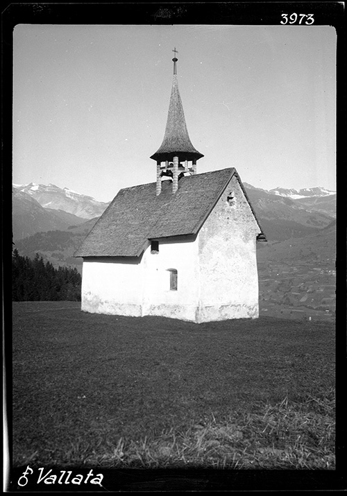
The technical images, as they are known, taken from the 1880s onwards are the oldest sub-collection in swisstopo’s image collection. It includes about 40,000 photographic objects. The photos predominantly show points in the national triangulation network. This sub-collection also documents how people used to work. It thus tells the story of the adventurous life of national topographers.
Simple
- Alternate title
-
Technical images swisstopo
- Date (Creation)
- 1880-01-01
Point of contact
- Topic category
-
- B Location
Extent
Extent
- Description
-
Switzerland
))

- Maintenance and update frequency
- Unknown
- geocat.ch
-
-
opendata.swiss
-
FSDI Federal Spatial Data Infrastructure
-
- GEMET
-
-
geography
-
Resource constraints
- Other constraints
- Opendata BY: Open use. Must provide the source.
- Language
- Deutsch
- Character encoding
- UTF8
- Distribution format
-
-
JPEG (JPG)
-
Digital transfer options
- OnLine resource
-
Internetseite von swisstopo
Digital transfer options
- OnLine resource
-
Die technischen Aufnahmen auf Memobase
Metadata
- Metadata identifier
- 1ddbd2b5-d545-4a79-af41-535d9ca535f3
- Language
- Deutsch
- Character encoding
- UTF8
- Language
- Français
- Character encoding
- UTF8
- Language
- Italiano
- Character encoding
- UTF8
- Language
- English
- Character encoding
- UTF8
Point of contact
Point of contact
Type of resource
- Resource scope
- Non geographic dataset
- Name
-
Modelldokumentation
- Metadata linkage
-
https://www.geocat.ch/geonetwork/srv/api/records/1ddbd2b5-d545-4a79-af41-535d9ca535f3
- Date info (Creation)
- 2025-07-16T08:41:01.064Z
- Date info (Revision)
- 2026-06-15T08:54:32.843221Z
Metadata standard
- Title
-
eCH-0271