geocat.ch
Landw. Bewirtschaftung: Perimeter LN- und Sömmerungsflächen Kanton Schaffhausen
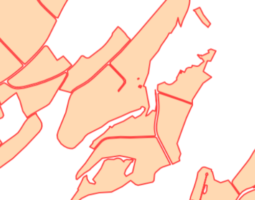
Der Perimeter landwirtschaftliche Nutzflächen (LN) und Sömmerungsflächen stellt die potenziell zu bewirtschaftende Landwirtschaftsfläche, ohne die landwirtschaftlich unproduktiven Flächen dar. Die Daten entsprechen dem MGDM Perimeter LN- und Sömmerungsflächen.
Simple
- Date (Revision)
- 2025-12-18
- Date (Creation)
- 2019-08-22
- Status
- On going
Point of contact
Owner
- Topic category
-
- S Farming
Extent
Extent
- Description
-
Kanton Schaffhausen
))

- Maintenance and update frequency
- Annually
- Duration of Conservation
- 0
- Comment on Duration of Conservation
-
Aufbewahrungsfrist unbekannt.
- Appraisal of Archival Value
- A
- Reason for Archiving Value
- Evidence of business practice
- Keywords
-
-
Landwirtschaftliche Nutzflächen
-
Sömmerungsflächen
-
opendata.swiss
-
LN
-
Resource constraints
- Other constraints
- Freie Nutzung
Associated resource
- Association Type
- Reference to a master resource of which this one is a part
- Language
- Deutsch
- Character encoding
- UTF8
- Basic Geodata
- false
- Basic Geodata Type
- openGovernmentData
- Distribution format
-
-
ESRI Shapefile
-
WMS Dienst
-
Geopackage
-
Interlis 2
-
WFS Dienst
-
Distributor
Digital transfer options
- OnLine resource
-
CH Datenmodell, geodienste.ch (INTERLIS, GeoPackage, Shapefile)
CH Datenmodell, geodienste.ch (INTERLIS, GeoPackage, Shapefile)
Digital transfer options
- OnLine resource
-
CH Datenmodell, geodienste.ch
CH Datenmodell, geodienste.ch
Digital transfer options
- OnLine resource
-
geodienste.ch
geodienste.ch
Digital transfer options
- OnLine resource
-
CH Datenmodell, geodienste.ch
CH Datenmodell, geodienste.ch
Digital transfer options
- OnLine resource
-
Kanton Schaffhausen
Kanton Schaffhausen
- Reference system identifier
- 2056
- Maintenance and update frequency
- Annually
Metadata
- Metadata identifier
- 1a9891cf-a002-4dea-a3ed-015c235e6666
- Language
- Deutsch
- Character encoding
- UTF8
Point of contact
Type of resource
- Resource scope
- Dataset
- Metadata linkage
-
https://www.geocat.ch/geonetwork/srv/api/records/1a9891cf-a002-4dea-a3ed-015c235e6666
- Date info (Creation)
- 2021-04-21T08:51:32Z
- Date info (Revision)
- 2026-04-13T09:25:59.969534Z
Metadata standard
- Title
-
GM03 2+