 geocat.ch
Waldhöhenstufen
Waldhöhenstufen auf der Grundlage der pflanzensoziologischen Kartierung
Simple
- Alternate title
-
WLDHOSTF_DS
- Date (Creation)
- 2002-01-01
- Presentation form
- Digital map
- Purpose
-
Zeigt die Waldhöhenstufen im Kt.Luzern.
- Status
- Completed
Publisher
Owner
- Spatial representation type
- Vector
Spatial resolution
Equivalent scale
- Denominator
- 10000
- Topic category
-
- G Biota
Extent
Extent
- Description
-
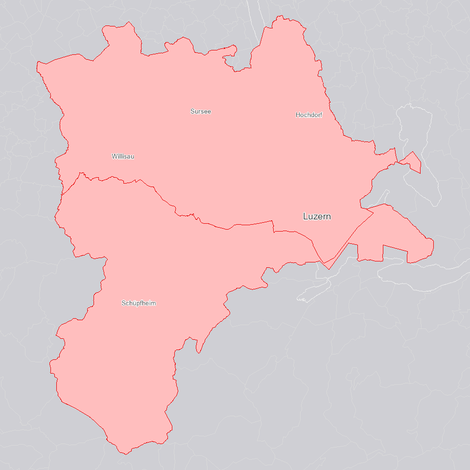
Kanton Luzern
))
- Maintenance and update frequency
- Not planned
- geocat.ch
-
-
opendata.swiss
-
Forstwirtschaft
-
Vegetation
-
Wald
-
Resource constraints
- Access constraints
- none
- Use constraints
- Copyright
Resource constraints
- Use limitation
-
öffentlich zugängliche Geobasisdaten
Resource constraints
- Access constraints
- none
- Use constraints
- none
Resource constraints
- Use limitation
-
Freie Nutzung. Quellenangabe ist Pflicht
- Language
- Deutsch
- Character encoding
- UTF-8
- Included with dataset
- false
- Title
-
WLDHOSTF_V1_PY
- Date (Publication)
- 2017-06-19
- Name
-
WLDHOSTF_V1_PY
- Scope
-
Flächen
- Version
-
V1
- Date
- 2025-09-03
Property description
- Property name
- Flächen
- Definition
-
Waldhöhenstufen
- Abstract
- false
Elements
- Member name
- STUFE
- Definition
-
Waldstufe
- Cardinalities
-
1
- Type name
-
Text
- Codelist
-
Code Label Definition Code Label Definition Value type B
Bergwald
B
Bergwald
ML
Mittelland
ML
Mittelland
- Distribution format
-
-
ESRI Geodatabase (.gdb)
-
ESRI Shapefile (.shp)
-
OGC GeoPackage (.gpkg)
-
Point of contact
Digital transfer options
- OnLine resource
-
Datenshop
Produktansicht Geodatenshop
- Statement
-
Abgeleitet von: NAWALGES_DS Natürliche Waldgesellschaften
- Statement
-
Grundlagen: Übersichtsplan 1:10'000 (UP10)
- Geometric object type
- polygon
- Reference system identifier
- EPSG:2056
- Maintenance and update frequency
- Not planned
Metadata
- Metadata identifier
- 13a71226-01dc-4ba4-9e5f-5f2ae2c0cb7e
- Language
- Deutsch
- Character encoding
- UTF-8
Point of contact
Type of resource
- Resource scope
- Dataset
- Metadata linkage
-
https://www.geocat.ch/geonetwork/srv/api/records/13a71226-01dc-4ba4-9e5f-5f2ae2c0cb7e
- Date info (Creation)
- 2017-06-19
- Date info (Revision)
- 2026-06-20T03:24:29.056834Z
Metadata standard
- Title
-
ISO19115.3-2018.che
)))