geocat.ch
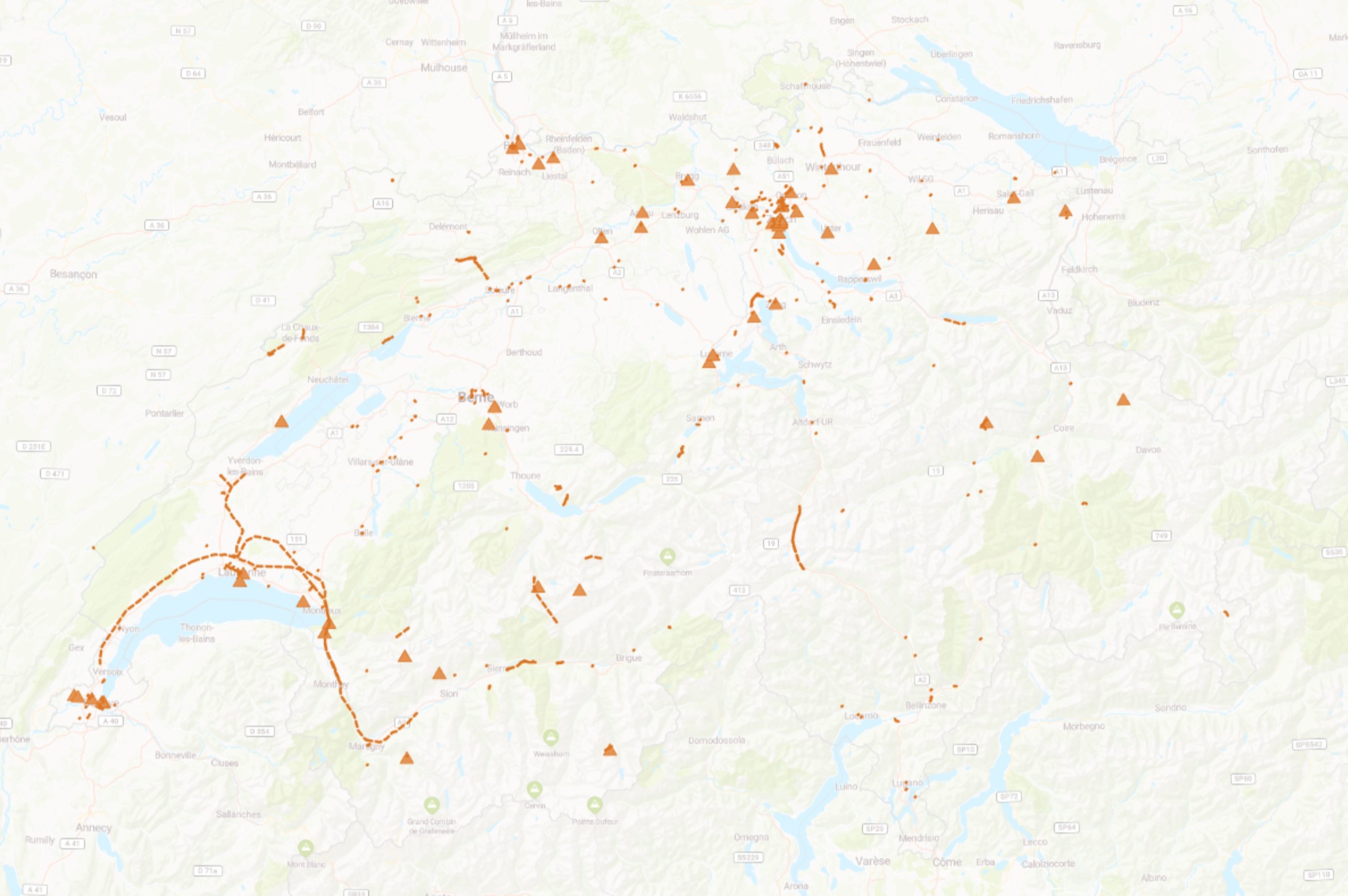
Construction in progress - Switzerland
Daily excerpts from buildings under construction in Switzerland in the OpenStreetMap (OSM) open, collaborative database.
Simple
- Date (Creation)
- 2024-02-13
- Topic category
-
- O Structure
Extent
Extent
- Description
-
Switzerland
))

- Maintenance and update frequency
- Unknown
- Language
- Français
- Language
- Deutsch
- Language
- Italiano
- Language
- English
- Distribution format
-
-
Extensive Markup Language (XML)
-
Digital transfer options
- OnLine resource
-
Couche disponible dans CH-OSM
Digital transfer options
- OnLine resource
-
Constructions - Suisse
Construction in progress - Switzerland
Digital transfer options
- OnLine resource
-
magosm:constructions
Localisations des constructions - Suisse
Digital transfer options
- OnLine resource
-
magosm:constructions
Localisations des constructions - Suisse
- Hierarchy level
- Dataset
Report
Result
- Value
- La cohérence n'a pas été évaluée
- Statement
-
The OSM attributes used to filter the data are: construction=VALUE + KEY=construction. More information about the CH-OSM service can be found in the "CH-OSM WMS Service" and "CH-OSM WFS Service" service descriptions in the CH-OSM catalogue.
- Hierarchy level
- Dataset
- Geometric object type
- Point
- Geometric object count
- 5306
- Reference system identifier
- urn:ogc:def:crs:EPSG:2056
Metadata
- Metadata identifier
- 0526622f-98e1-480f-a9eb-91aa78ab58ec
- Language
- Français
- Character encoding
- UTF8
- Language
- Deutsch
- Character encoding
- UTF8
- Language
- Italiano
- Character encoding
- UTF8
- Language
- English
- Character encoding
- UTF8
Point of contact
Type of resource
- Resource scope
- Dataset
- Metadata linkage
-
https://www.geocat.ch/geonetwork/srv/api/records/0526622f-98e1-480f-a9eb-91aa78ab58ec
- Date info (Creation)
- 2024-02-16T07:14:14.629Z
- Date info (Revision)
- 2026-04-13T09:39:19.463562Z
Metadata standard
- Title
-
ISO 19115/19119