geocat.ch
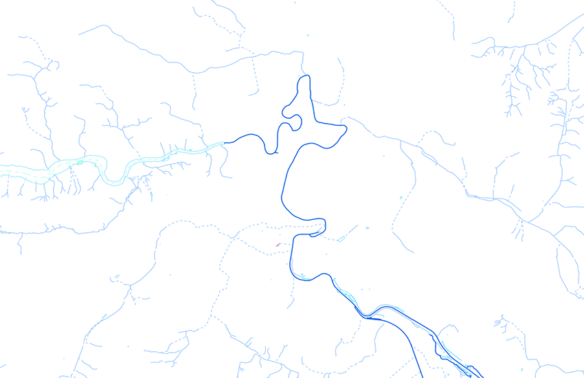
VECTOR25 Hydrographic network GWN07
The layer "Hydrographic network" consists of a directionally oriented line network connected to each other with nodes, and of a table without geometry. Those features which are in Switzerland and the Principality of Liechtenstein form the basis for the Swiss Water Information System (GEWISS). GEWISS is managed by the Federal Office for the Environment (FOEN). The layer Hydrographic network has been completely revised within the project GWN07. The release 2007 of VECTOR25 gwn is published as reference.
Simple
- Alternate title
-
Hydrological network VECTOR25
- Date (Publication)
- 2007-08-31
- Identifier
- ch.swisstopo.vec25-gewaessernetz_referenz
- Other citation details
-
Part of the vECTOR25 Dataset
- Status
- Completed
Point of contact
- Spatial representation type
- Vector
Spatial resolution
Equivalent scale
- Denominator
- 25000
- Topic category
-
- I Inland waters
Extent
Extent
- Description
-
National Map 1:25'000
- Geographic identifier
- NM25
))

- Maintenance and update frequency
- Not planned
- Hierarchy level
- Dataset
- Maintenance note
-
Since 2008 not updated anymore
Resource format
- Title
-
ESRI File Geodatabase FileGDB (GDB)
- Date
- GEMET - INSPIRE themes, version 1.0
-
-
Hydrography
-
- GEMET
-
-
lake
-
geographic information system
-
water (geographic)
-
- geocat.ch
-
-
river
-
landscape model
-
opendata.swiss
-
e-geo.ch
-
GIS (Geographic Information System)
-
- geocat.ch
-
-
FSDI Federal Spatial Data Infrastructure
-
- GEMET
-
-
nomenclature
-
Resource constraints
- Other constraints
-
NonCommercialAllowed-CommercialAllowed-ReferenceRequired
Associated resource
- Association Type
- Reference to a master resource of which this one is a part
- Metadata Reference
Associated resource
- Title
-
VECTOR25 gwn
- Association Type
- Reference to a master resource of which this one is a part
- Language
- Deutsch
- Character encoding
- UTF8
- Language
- English
- Character encoding
- UTF8
- Environment description
-
ARC/INFO
- Supplemental Information
-
The layers Road network, Railway network, Other traffic, Hydrographic network, Primary surfaces, Buildings, Hedges and trees, Functional surfaces and Single objects build together the dataset VECTOR25.
- Compliance code
- 0
- Language
- Deutsch
- Language
- Français
- Included with dataset
- true
- Title
-
VECTOR25 Das digitale Lanschaftsmodell der Schweiz : Produkteinformation
- Date (Publication)
- 2004-04-01
- Presentation form
- Digital document
- Distribution format
-
-
AutoCAD DXF (DXF)
-
ESRI Shapefile (SHP)
-
ESRI File Geodatabase FileGDB (GDB)
-
Digital transfer options
- OnLine resource
-
Vorschau map.geo.admin.ch
Preview map.geo.admin.ch
Digital transfer options
- OnLine resource
-
ch.swisstopo.vec25-gewaessernetz_referenz
WMS-FSDI service, layer "Hydrological network VECTOR25"
Digital transfer options
- OnLine resource
-
ch.swisstopo.vec25-gewaessernetz_referenz
WMTS-FSDI service, layer "Hydrological network VECTOR25"
Digital transfer options
Digital transfer options
- OnLine resource
-
RESTful API von geo.admin.ch
RESTful API from geo.admin.ch
- Statement
-
Content and geometry based on the swiss National Map 1:25'000. Geometric precision : 3-8 m.
- Hierarchy level
- Dataset
- Topology level
- Full planar graph
- Geometric object type
- Curve
- Geometric object count
- 275000
- Reference system identifier
- EPSG:21781
- Maintenance and update frequency
- As needed
Metadata
- Metadata identifier
- 0351bc2e-3cdc-4e8a-b422-0142e494e7b4
- Language
- Deutsch
- Character encoding
- UTF8
- Language
- Français
- Character encoding
- UTF8
- Language
- Italiano
- Character encoding
- UTF8
- Language
- English
- Character encoding
- UTF8
- Language
- Rumantsch
- Character encoding
- UTF8
Point of contact
Type of resource
- Resource scope
- Dataset
- Name
-
Layer
- Metadata linkage
-
https://www.geocat.ch/geonetwork/srv/api/records/0351bc2e-3cdc-4e8a-b422-0142e494e7b4
- Date info (Creation)
- 2007-12-17T12:00:00Z
- Date info (Revision)
- 2026-04-13T09:42:45.889379Z
Metadata standard
- Title
-
GM03 2+