geocat.ch
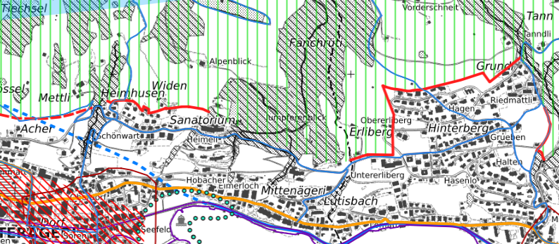
Richtplan (ZG)
Der Richtplan ist behördenverbindlich. Er legt fest, wie sich der Kanton und die Gemeinden langfristig räumlich entwickeln sollen. Dabei geht es um die Zukunft des Natur-, Landwirtschafts-, Siedlungs-, Wirtschafts- und Erholungsraums.
Simple
- Date (Revision)
- 2025-12-02
- Date (Publication)
- 2025-12-02
- Status
- On going
Owner
- Spatial representation type
- Vector
Spatial resolution
Equivalent scale
- Denominator
- 25000
- Topic category
-
- E Planning cadastre
Extent
Extent
- Description
-
Canton of Zug (ZG)
))

- Maintenance and update frequency
- As needed
Resource format
- Title
-
INTERLIS 1 (ITF)
- Date
- geocat.ch
-
-
settlement area
-
careful treatment zone
-
heritage site
-
OpenData
-
surface of crop rotation SCR
-
public building
-
gas pipeline
-
wildlife corridor
-
cantonal road
-
construction zone
-
opendata.swiss
-
- GEMET
-
-
zoning
-
decomposition
-
landscape protection area
-
boating
-
hiking trail
-
renaturation
-
high voltage line
-
human settlement
-
archaeology
-
cycle path
-
station
-
landscape conservation
-
land reclamation
-
recreational area
-
inert waste
-
lake
-
national reserve
-
motorway
-
armed forces
-
- GEMET
-
-
construction waste
-
- Language
- Deutsch
- Character encoding
- UTF8
- Subtopic Category
- E1 Spatial Planning, Spatial Development
- Distribution format
-
-
OGC Web Feature Service (WFS)
-
AutoCAD DXF (DXF)
-
OGC Geopackage (GPKG)
-
ESRI Shapefile (SHP)
-
Digital transfer options
- OnLine resource
-
Richtplan (ZugMap)
ZugMap, der öffentliche Geodaten-Viewer des GIS Kanton Zug
- OnLine resource
-
Richtplan (DXF)
Richtplan (DXF)
- OnLine resource
-
Richtplan (GeoPackage)
Richtplan (GeoPackage)
- OnLine resource
-
Richtplan (Shapefile)
Richtplan (Shapefile)
Digital transfer options
- OnLine resource
-
Richtplan (WMS)
Richtplan (WMS)
Digital transfer options
- OnLine resource
-
Richtplan (WFS)
Richtplan (WFS)
- Reference system identifier
- CH-Landeskoordinaten
Metadata
- Metadata identifier
- fa90a21e-4720-4169-9ce4-97ddf75d6674
- Language
- Deutsch
- Character encoding
- UTF8
- Language
- Français
- Character encoding
- UTF8
- Language
- Italiano
- Character encoding
- UTF8
- Language
- English
- Character encoding
- UTF8
Distributor
Type of resource
- Resource scope
- Dataset
- Metadata linkage
-
https://www.geocat.ch/geonetwork/srv/api/records/fa90a21e-4720-4169-9ce4-97ddf75d6674
- Date info (Creation)
- 2006-11-24T12:00:00Z
- Date info (Revision)
- 2026-06-12T11:48:58.131763Z
Metadata standard
- Title
-
eCH-0271