geocat.ch
Bohrkataster (intern)
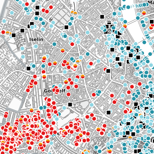
Diese Karte zeigt alle erfassten Bohrungen, Erdwärmesonden und Sondierbohrungen, die i. d. R. ins Grundwasser reichen. Sie gibt Auskunft über die Art, den Zustand und die Dimensionen der Bohrungen und enthält Informationen zum Untergrund.
Simple
- Date (Creation)
- 2009-05-14
- Status
- Completed
Owner
- Hours of service
-
Mo - Fr: 8.00 - 12.00 und 14.00 - 17.00 Uhr
- Spatial representation type
- Vector
- Topic category
-
- F Geoscientific information
Extent
Extent
- Description
-
Canton of Basel-Stadt (BS)
))

- Maintenance and update frequency
- Quarterly
- GEMET
-
-
hydrogeology
-
- GEMET
-
-
groundwater
-
- GEMET
-
-
geothermal energy
-
Resource constraints
- Other constraints
-
Die Geodaten sind beschränkt öffentlich zugänglich. (Zugangsberechtigungsstufe [B1] = intern)
- Other constraints
-
Es gelten die Nutzungsbedingungen für Geodaten des Kantons Basel-Stadt. ( http://www.geo.bs.ch/agb)
Associated resource
- Association Type
- Resource is a description of associated resource
- Metadata Reference
Associated resource
- Title
-
Bohrkataster
- Association Type
- Reference to a master resource of which this one is a part
- Language
- Deutsch
- Character encoding
- UTF8
- Supplemental Information
-
Zeigt geplante, bestehende und kassierte Grundwasser-Bohrungen und Erdwärmesonden.
- Subtopic Category
- F1 Geology
- Distribution format
-
-
ESRI Shapefile (SHP)
-
INTERLIS 2 (XTF)
-
ESRI File Geodatabase FileGDB (GDB)
-
OGC Geopackage (GPKG)
-
FlatGeobuf
-
TEXT, comma separated (CSV)
-
GeoJSON (GEOJSON)
-
Distributor
- Hours of service
-
Mo - Do: 8:00 bis 12:00, 13:30 bis 16:30, Fr: 8:00 bis 12:00, 13:30 bis 16:00
Digital transfer options
- OnLine resource
-
MapBS
Öffentliches Auskunftssystem des Kantons Basel-Stadt
Digital transfer options
- OnLine resource
-
Geodaten-Shop
Öffentlich zugänglicher Geodaten-Downloaddienst des Kantons Basel-Stadt
- Reference system identifier
- CH1903+ / LV95/EPSG: 2056
Metadata
- Metadata identifier
- f8299a77-5064-4421-b90f-8c0501b4f9ed
- Language
- Deutsch
- Character encoding
- UTF8
- Language
- Français
- Character encoding
- UTF8
- Language
- Italiano
- Character encoding
- UTF8
- Language
- English
- Character encoding
- UTF8
Custodian
Type of resource
- Resource scope
- Dataset
- Metadata linkage
-
https://www.geocat.ch/geonetwork/srv/api/records/f8299a77-5064-4421-b90f-8c0501b4f9ed
- Date info (Creation)
- 2016-06-23T13:30:03Z
- Date info (Revision)
- 2026-05-18T08:28:36.699565Z
Metadata standard
- Title
-
eCH-0271