geocat.ch
Planung der Revitalisierungen von Seeufern
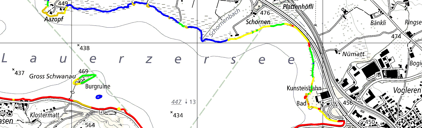
Die Kantone sind verpflichtet, die Revitalisierungen der Seeufer strategisch zu planen (Art 38a GSchG; Art. 41d GSchV). Die Planungen wurden erstmals 2022 von den Kantonen verabschiedet und sind alle 12 Jahre zu aktualisieren. Gemäss Minimalen Geodatenmodell (MGDM) ID 191.2 sind dargestellt : ökomorphologische Bewertung der Seeufer, ökologische und landschaftliche Bedeutung, Nutzen für Natur und Landschaft im Verhältnis zum Aufwand und die Zeitfenster der geplanten Umsetzungen. Die Daten basieren auf dem MGDM Planung der Revitalisierung von Seeufern (ID 191.2, Version 1.2).
Simple
- Date (Creation)
- 2022-07-07
Resource provider
- Topic category
-
- I Inland waters
Extent
Extent
- Description
-
Switzerland
))

- Maintenance and update frequency
- Daily
- geocat.ch
-
-
revitalisation
-
geodienste.ch
-
minimum geodata model MGDM
-
official geodata
-
canton
-
- GEMET
-
-
planning
-
federal law
-
physical planning
-
water (geographic)
-
- Language
- Deutsch
- Character encoding
- UTF8
- Basic Geodata
- true
- Basic Geodata ID
-
191.2
- Basic Geodata Legal Level
- Federal
- Distribution format
-
-
STAC
-
OGC Web Map Service (WMS)
-
OGC Web Feature Service (WFS)
-
OGC Geopackage (GPKG)
-
ESRI Shapefile (SHP)
-
Digital transfer options
- OnLine resource
-
Dokumentation
Report on the implementation of services, data, and attributes.
Digital transfer options
- OnLine resource
-
Daten
WMS
Digital transfer options
- OnLine resource
-
Datenbezug
Data access
Digital transfer options
- OnLine resource
-
STAC
STAC
- Reference system identifier
- EPSG:2056
Metadata
- Metadata identifier
- f55e86e7-f1a5-43f6-ada2-1f1914e70403
- Language
- Deutsch
- Character encoding
- UTF8
- Language
- Français
- Character encoding
- UTF8
- Language
- Italiano
- Character encoding
- UTF8
- Language
- English
- Character encoding
- UTF8
Resource provider
Type of resource
- Resource scope
- Dataset
- Metadata linkage
-
https://www.geocat.ch/geonetwork/srv/api/records/f55e86e7-f1a5-43f6-ada2-1f1914e70403
- Date info (Creation)
- 2022-07-07T00:00:00.000Z
- Date info (Revision)
- 2026-06-20T23:08:13.828266Z
Metadata standard
- Title
-
GM03_2